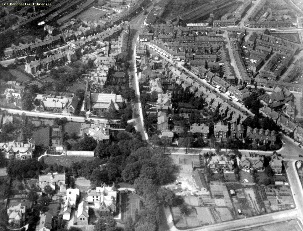
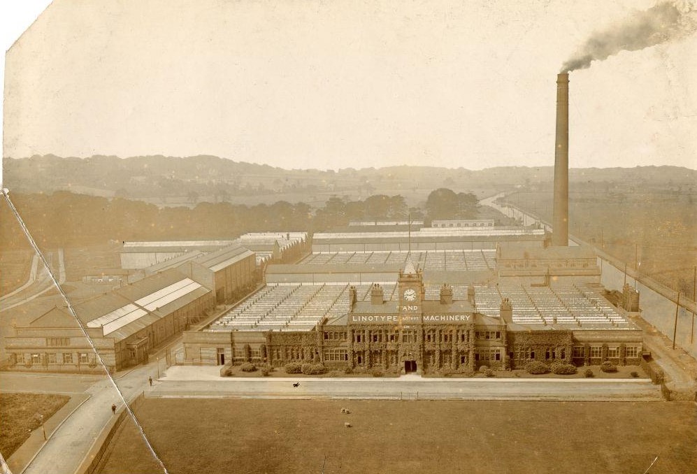
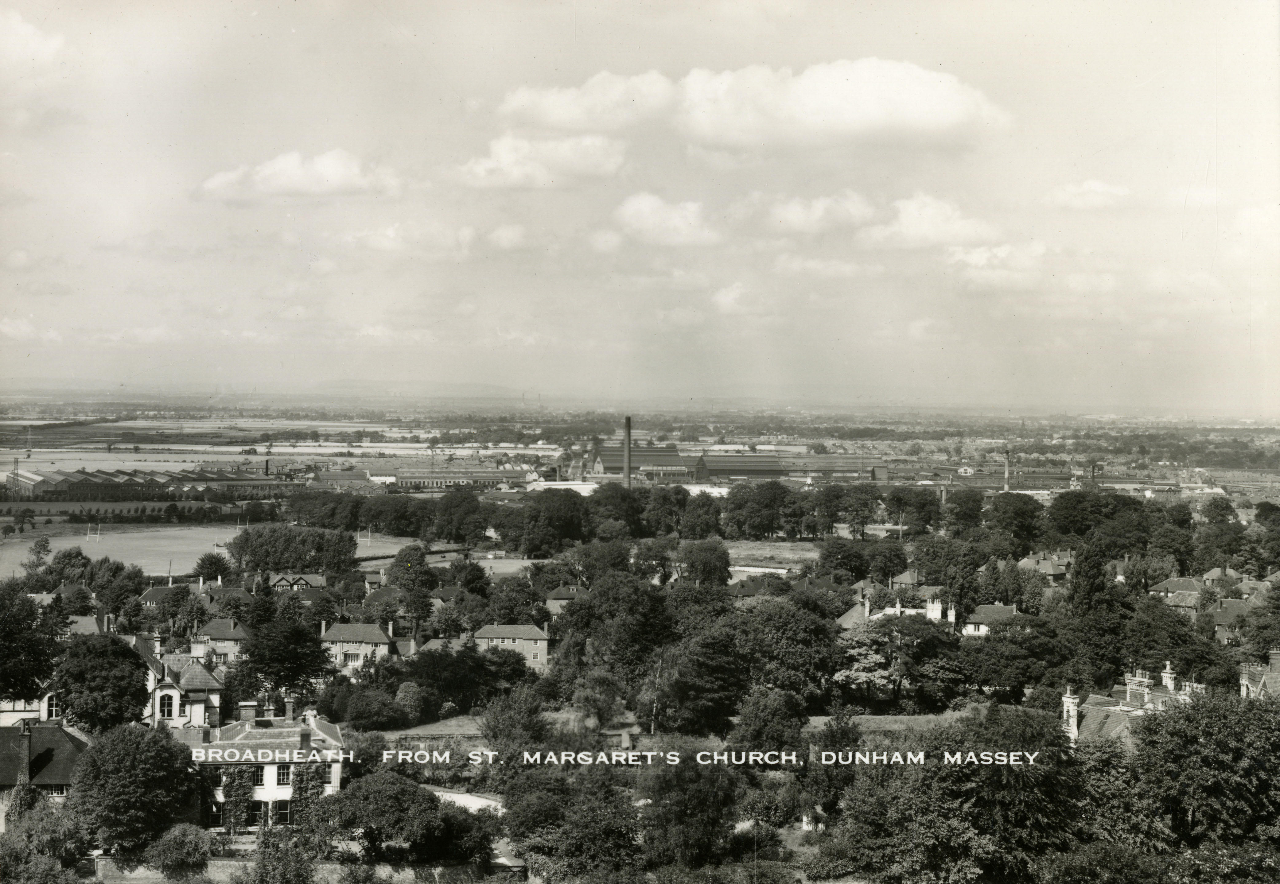
Altrincham (north): Linotype and Machinery Company factory, 1910s
The Linotype Company was established in Manchester in 1889, to exploit an invention by a German watchmaker which had been developed in America, in the form of a print composing machine. It made it easier for type to be set; used less staff and space and saved time. It particularly improved the newspaper and periodical industries.
In the late 1890s, the company developed a very large factory south of the canal at Broadheath to make far more of the machines. It followed the setting up of the Altrincham Electric Supply Company on the north side of the canal in 1895.
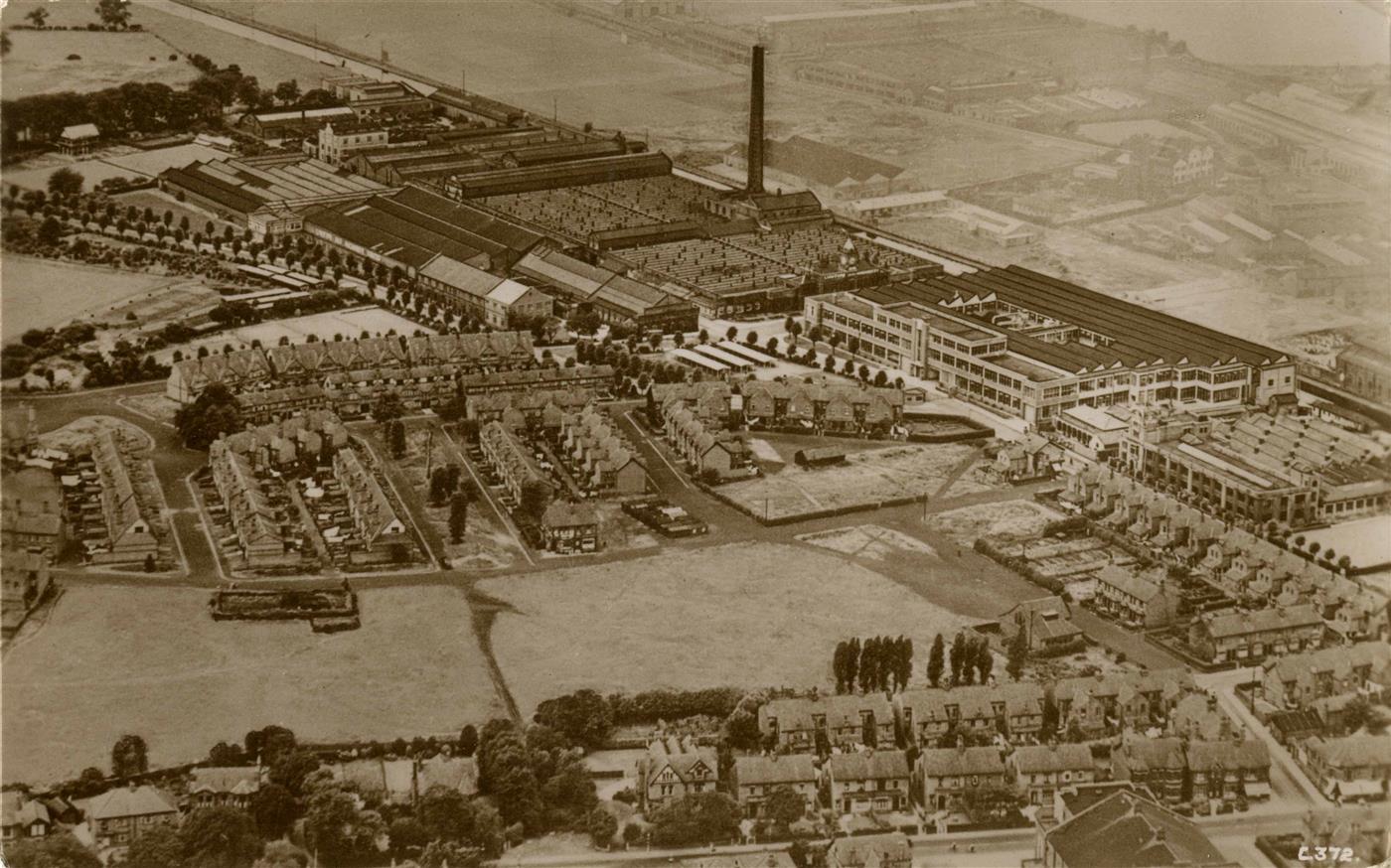
The Linotype Company bought some 40 acres of land, which were mainly used for a high-quality housing estate and amenities including sports grounds, a children’s playground and allotments. This was in order to attract and retain skilled workers and their families. Rents were set at half of those locally and there was a profit-sharing scheme and works committee. The streets were named after the directors of the company, including the main influencer, the publisher Sir Joseph Lawrence M.P., who had introduced the Linotype in 1889 and was chairman of the company from 1895 until his death in 1919.
The then Earl of Stamford was opposed to any industrial development south of the canal but as the estate of 172 good-sized houses took up most of the site, it ensured that not many more noisy and polluting factories could be built.
In 1903, the company became known as the Linotype and Machinery Company Limited (L & M), when it amalgamated with the Machinery Trust. Sales were world-wide, as their machines could be adapted for printing in many scripts.
The cricket ground for the workers at the factory is in the foreground. In the distance to the left, is the ridge of the hill at Dunham, where the Earl of Stamford had his seat at Dunham Massey Hall. To the right is the Bridgewater Canal.
.png)