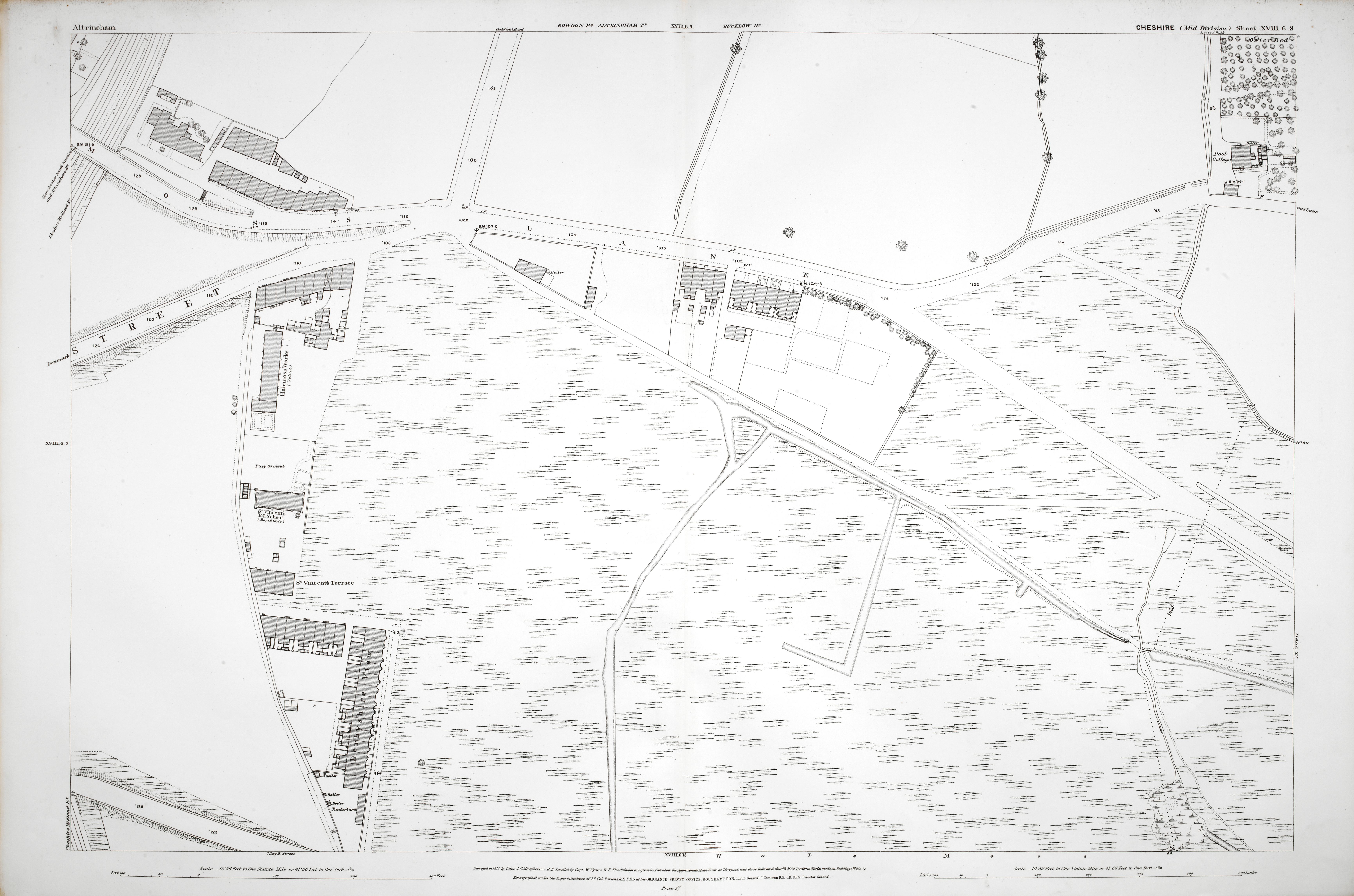
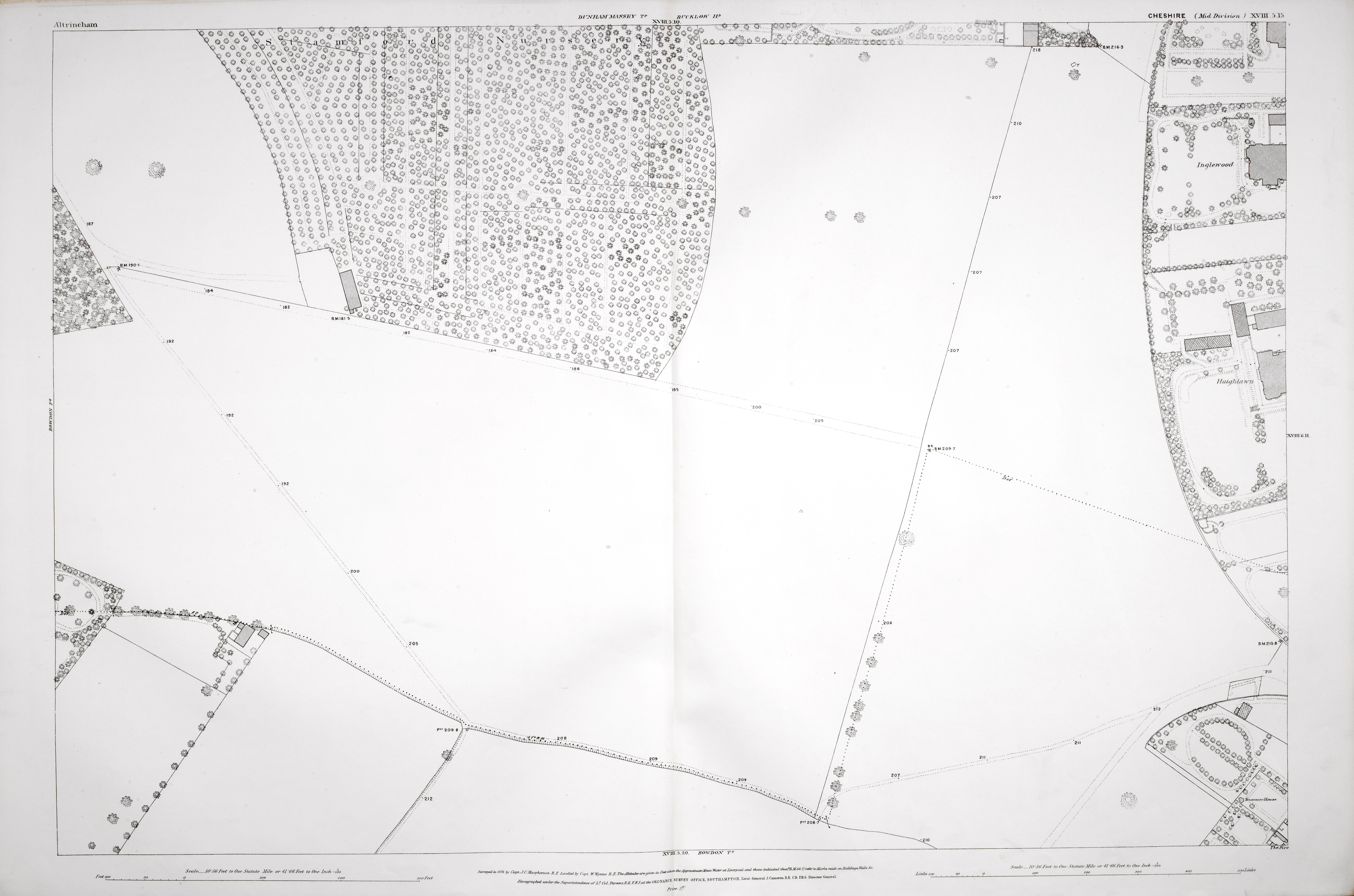
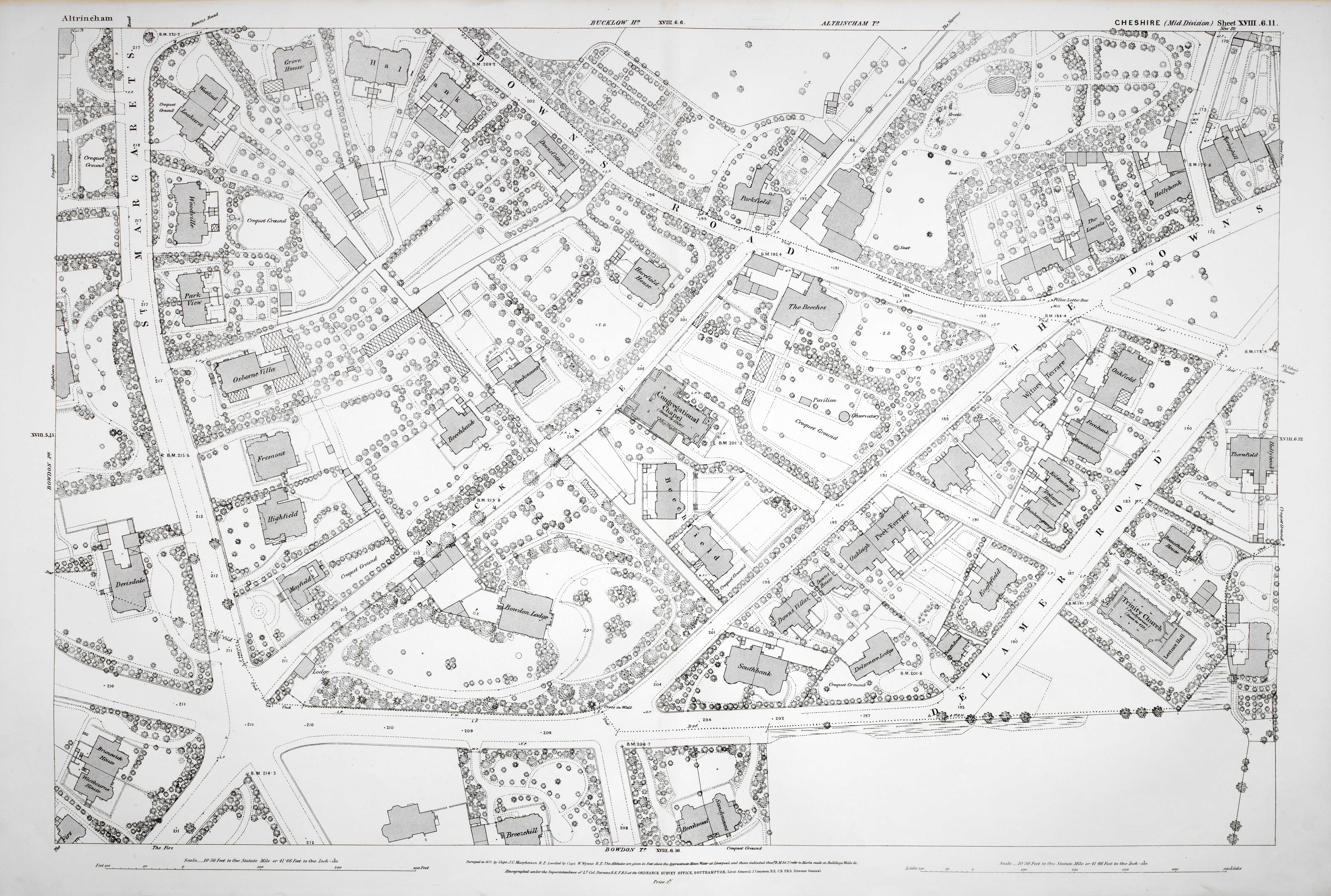
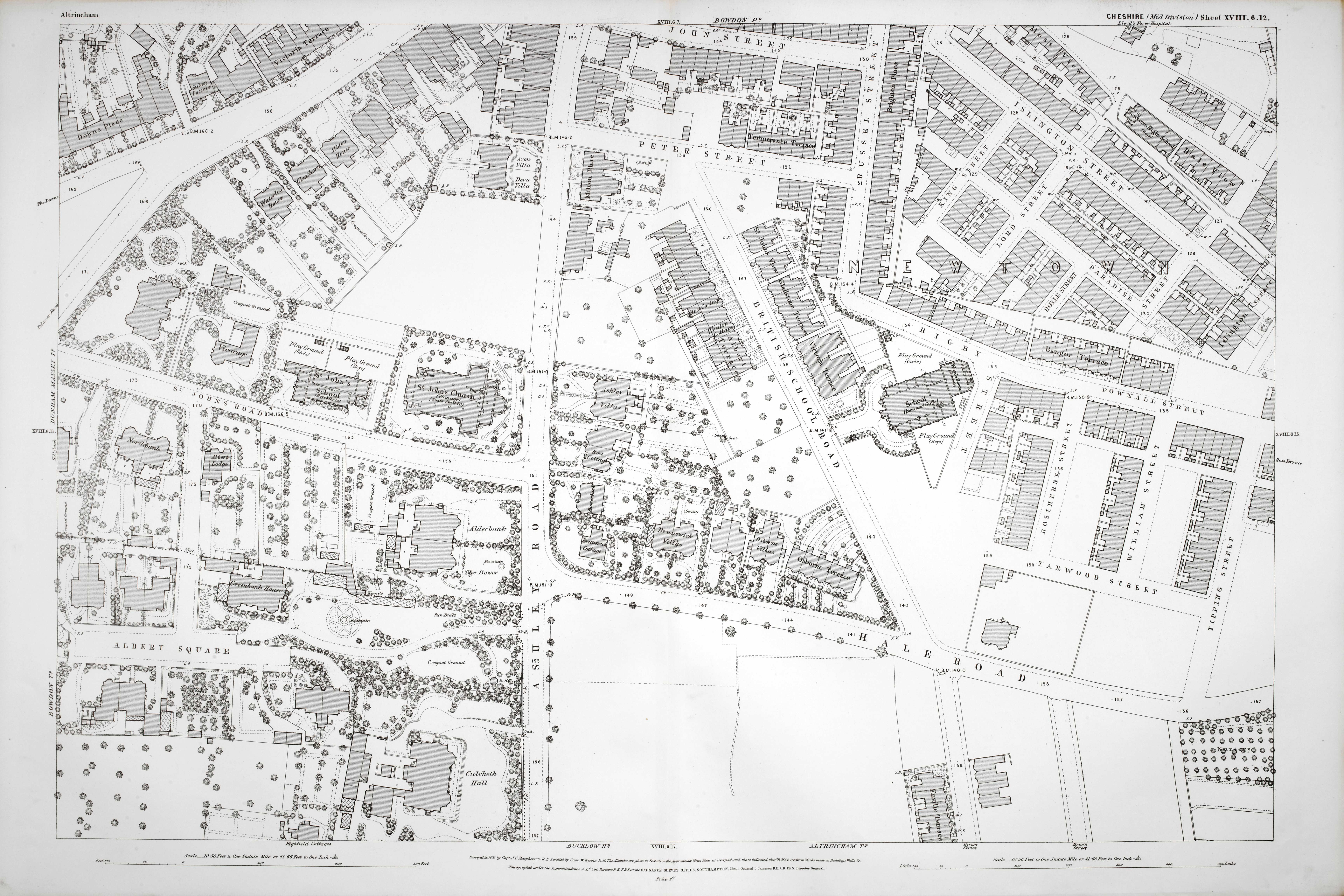
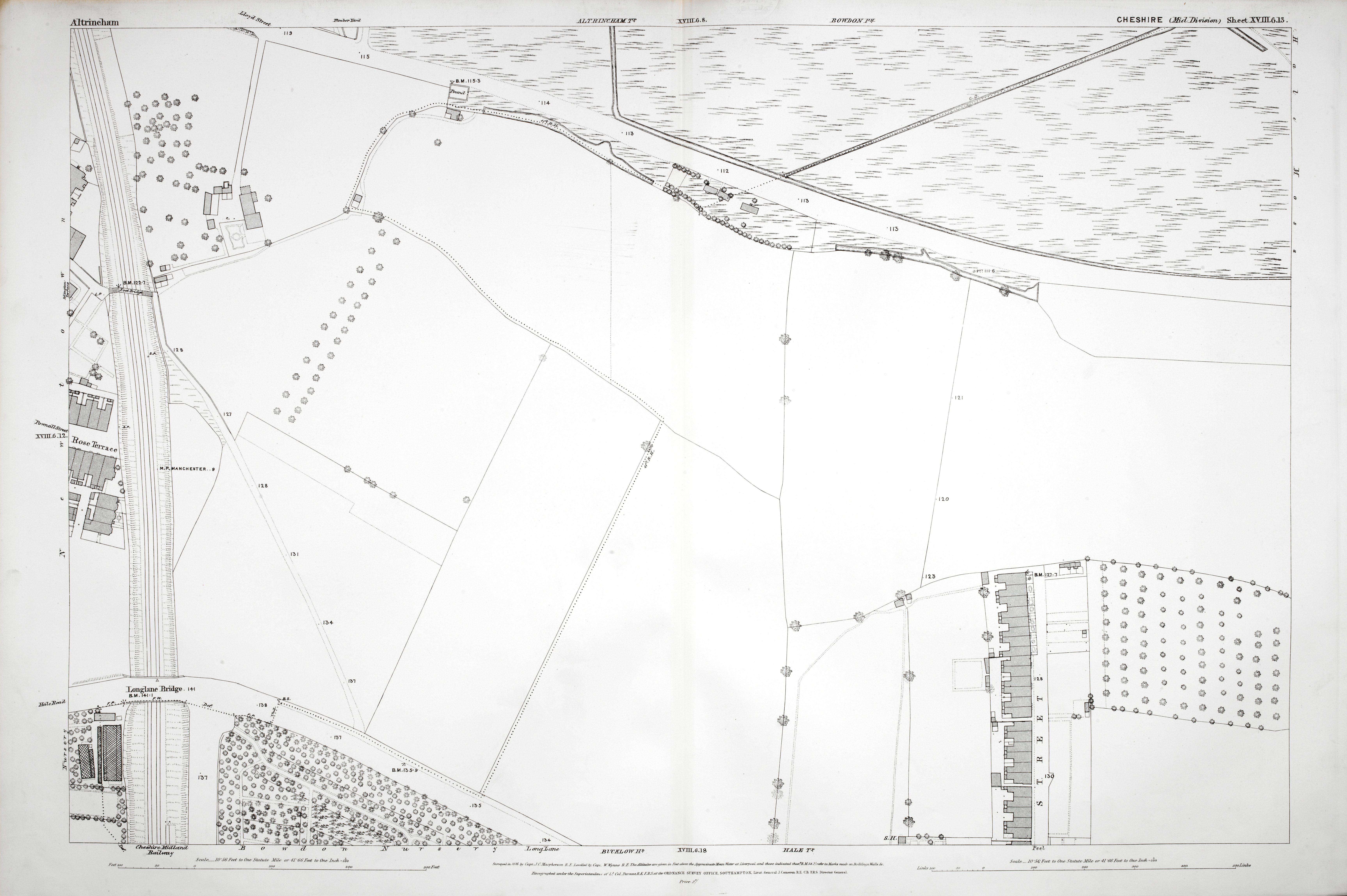
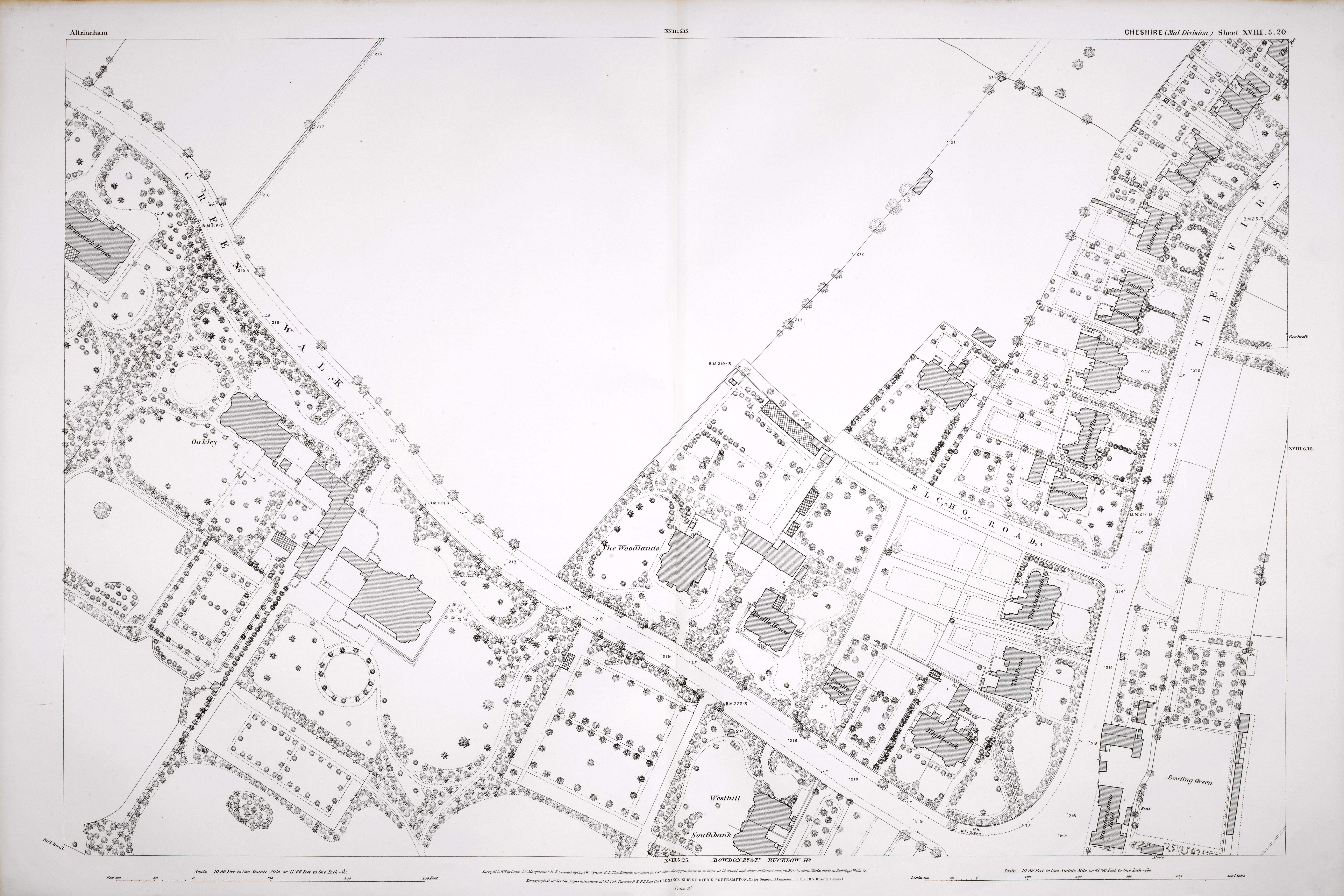
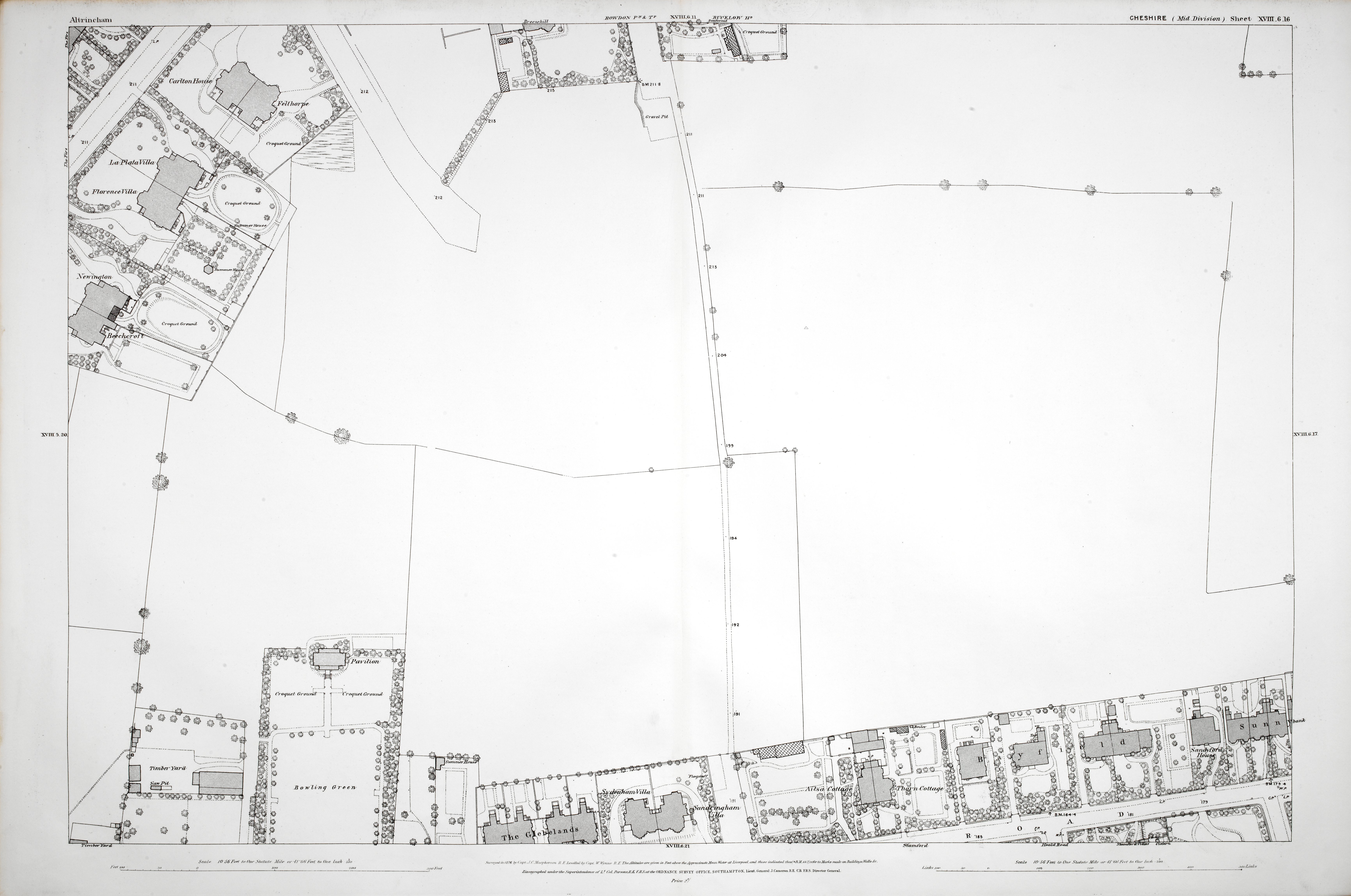
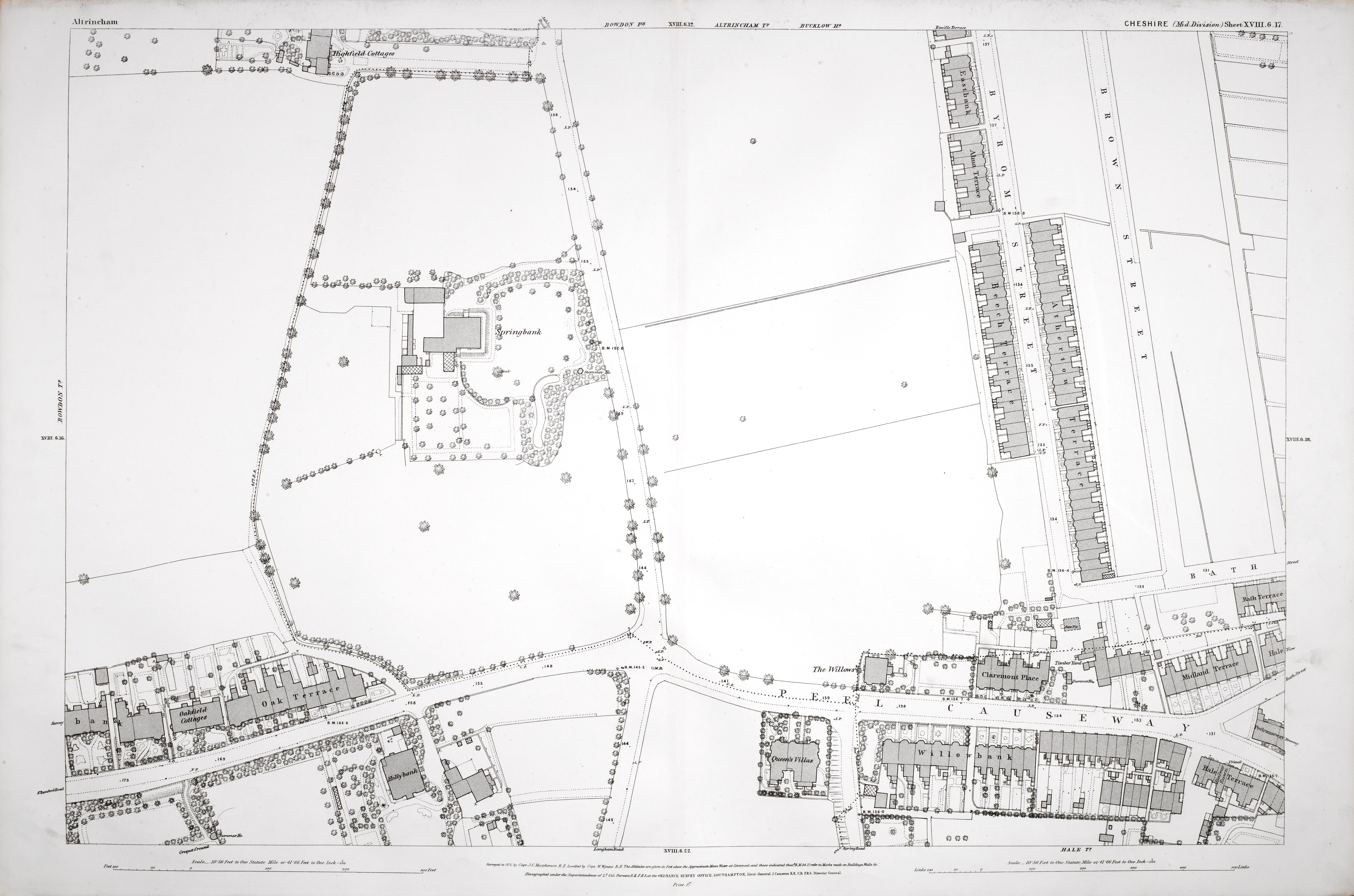
.png)

Whole 1852 & 1876 Plans
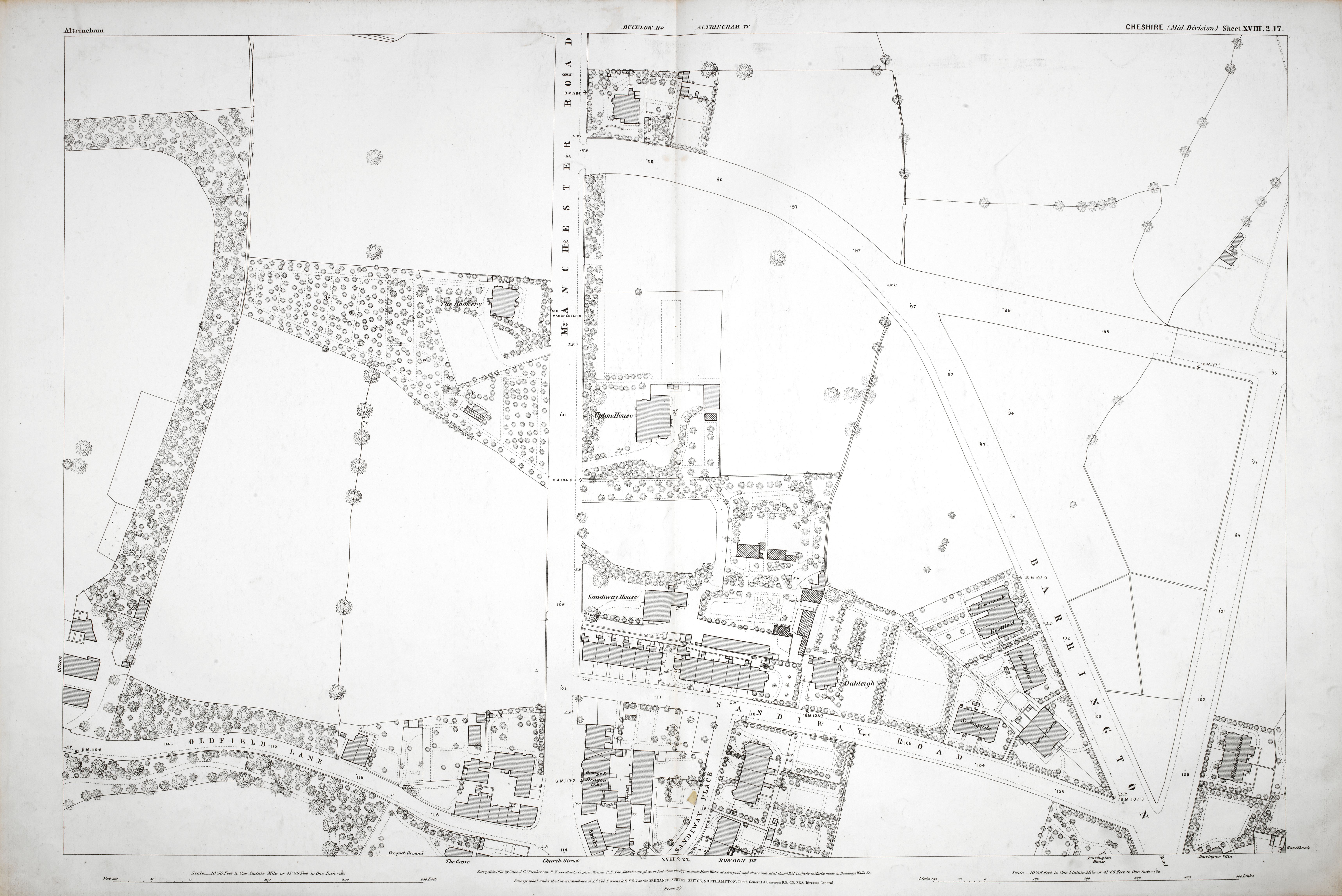
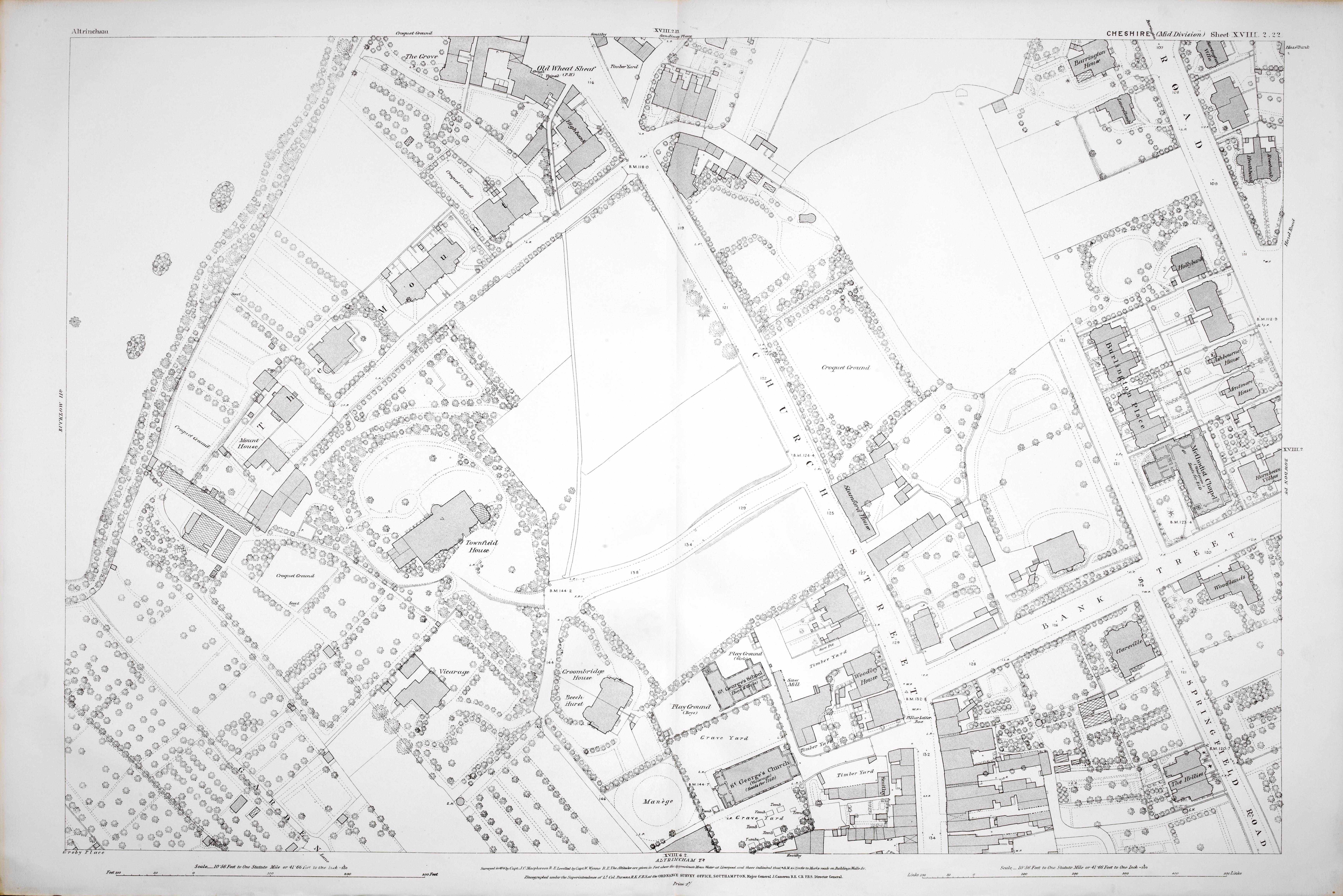
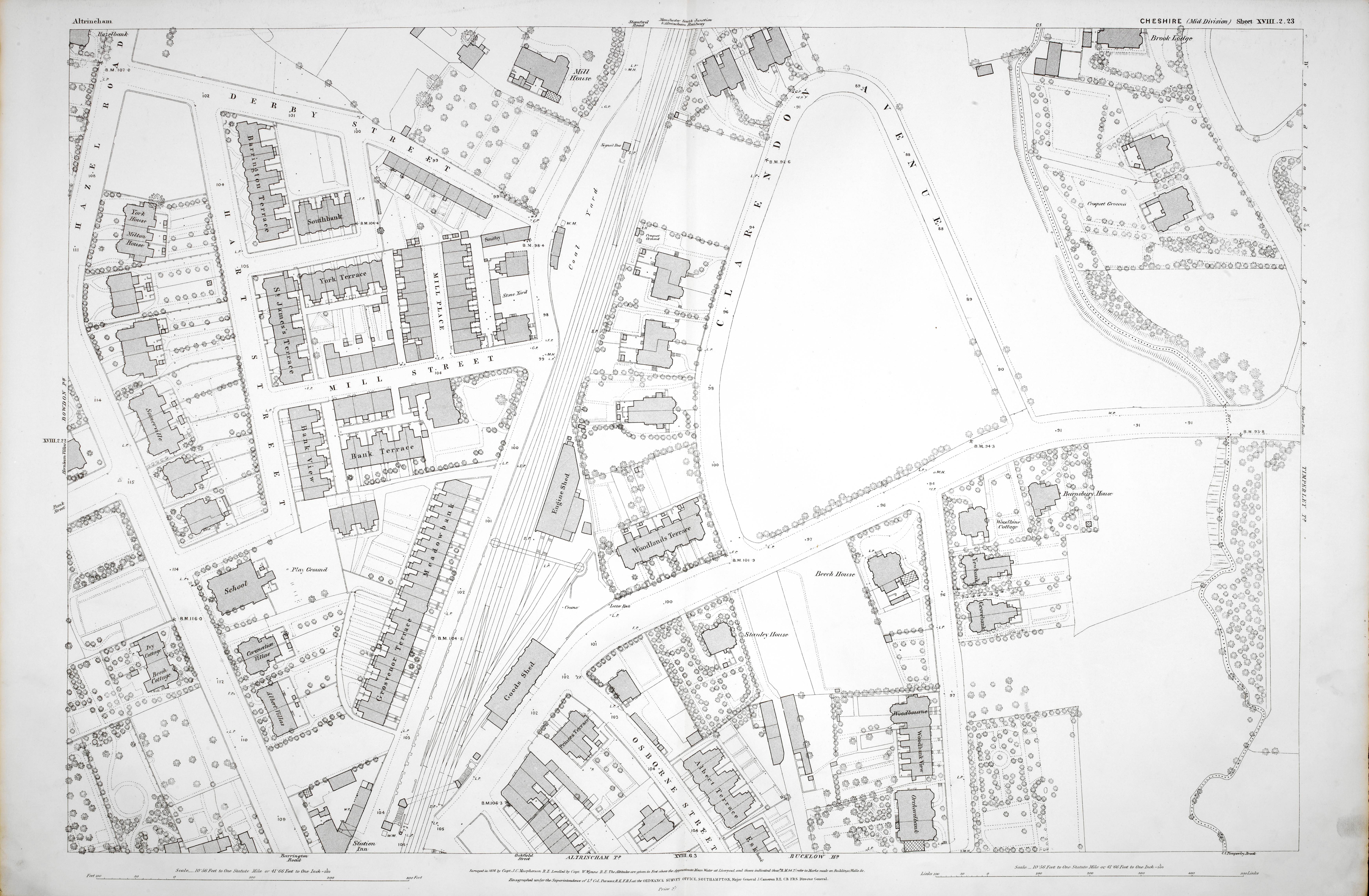
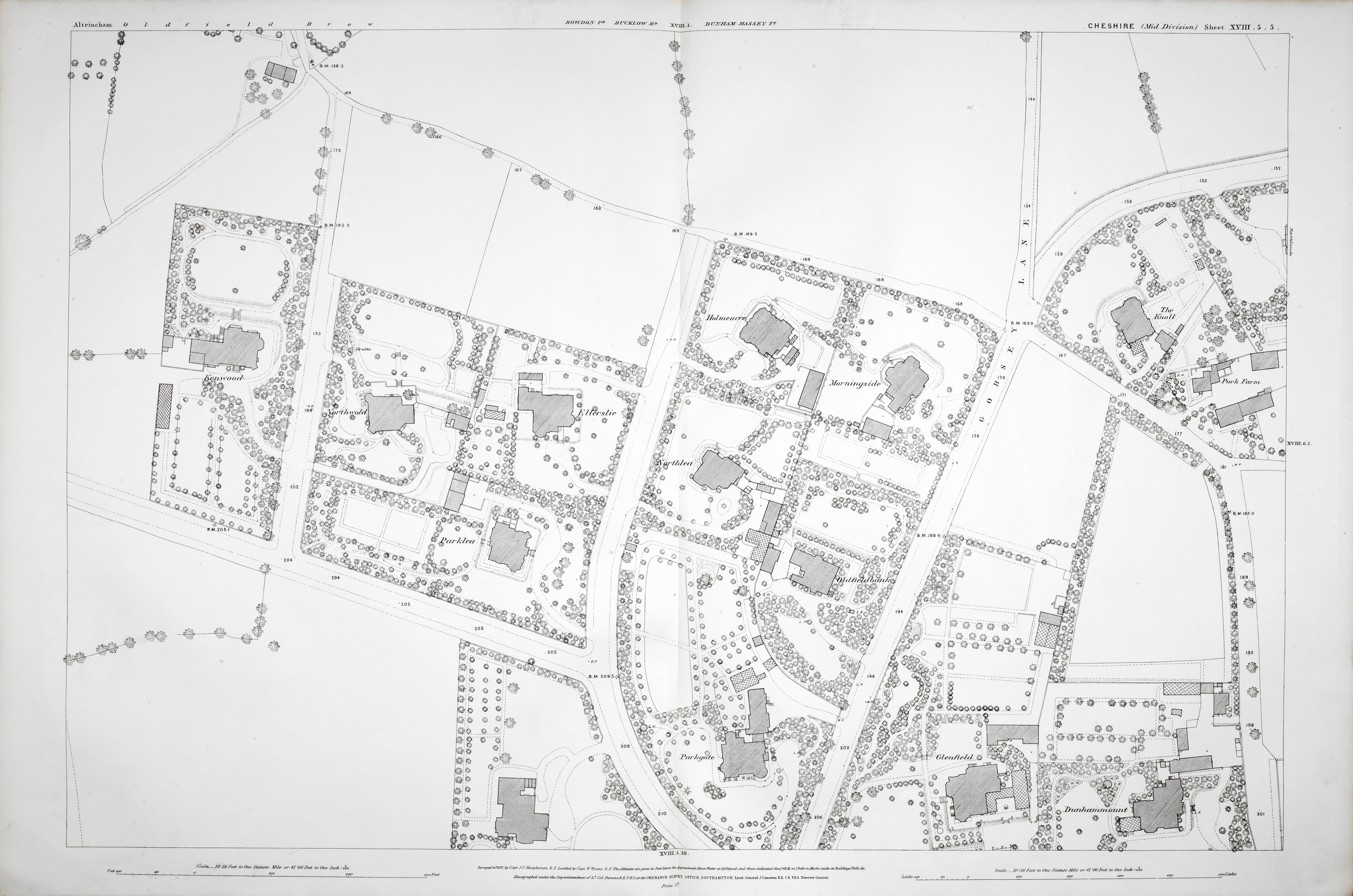
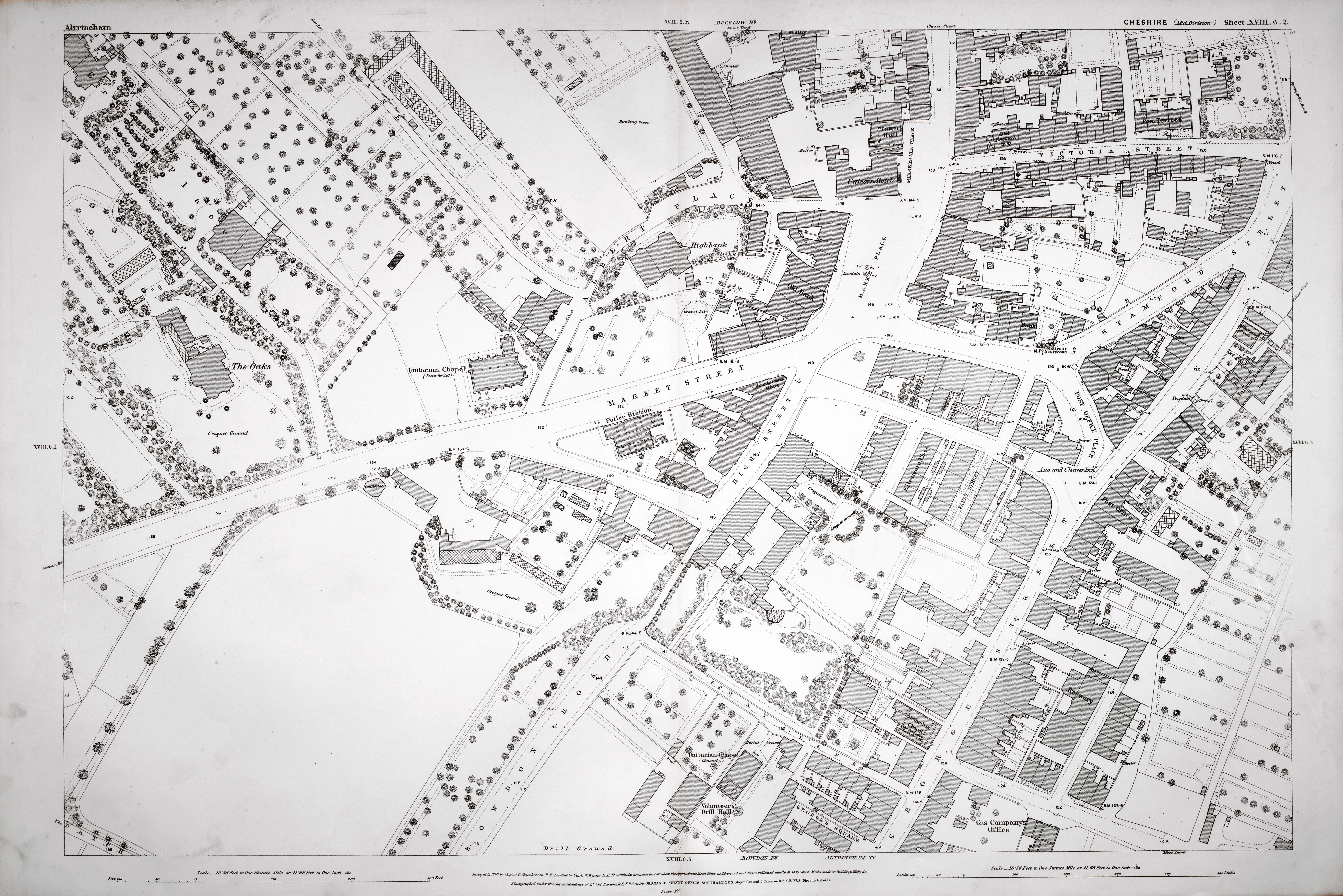
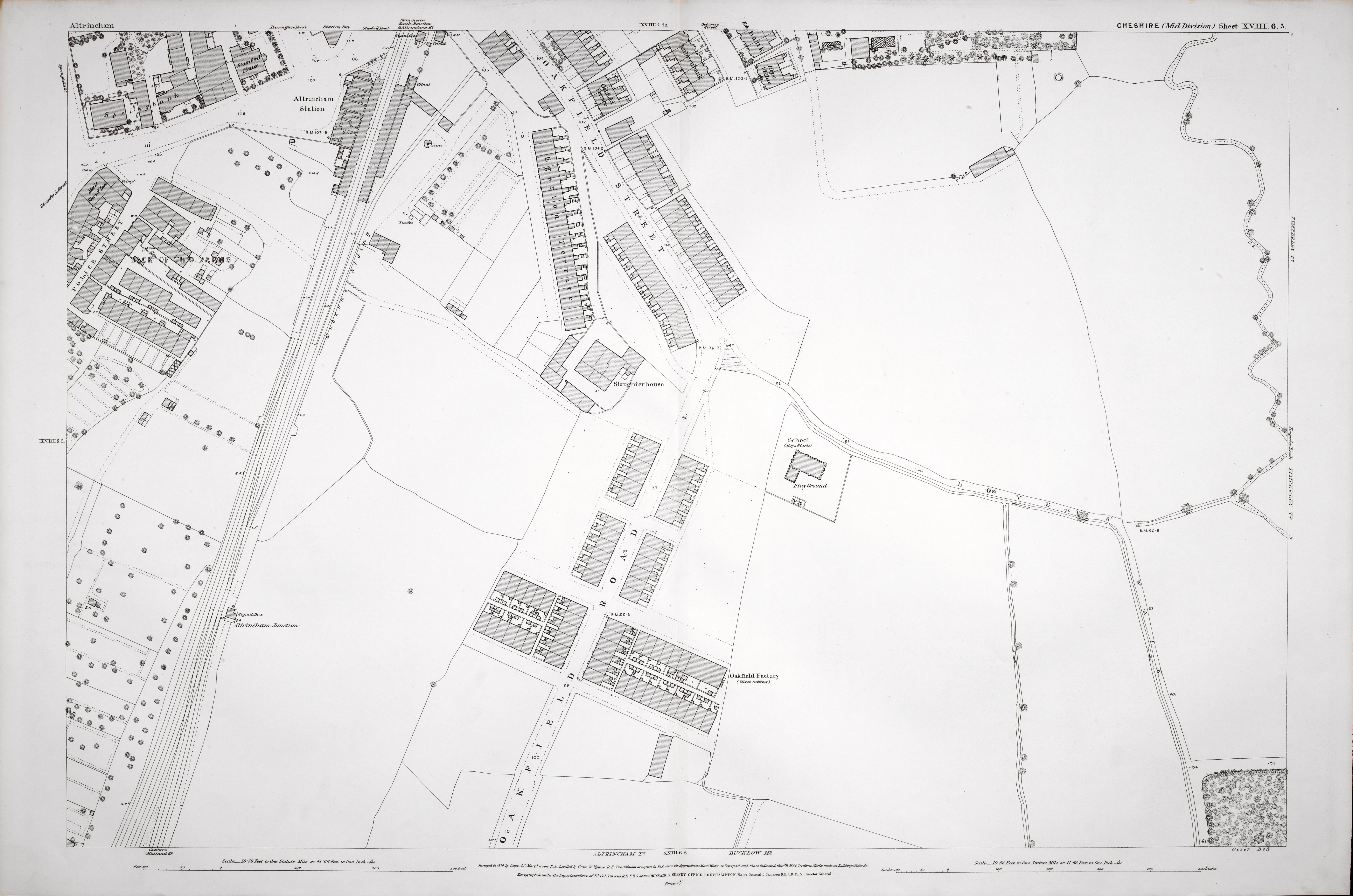
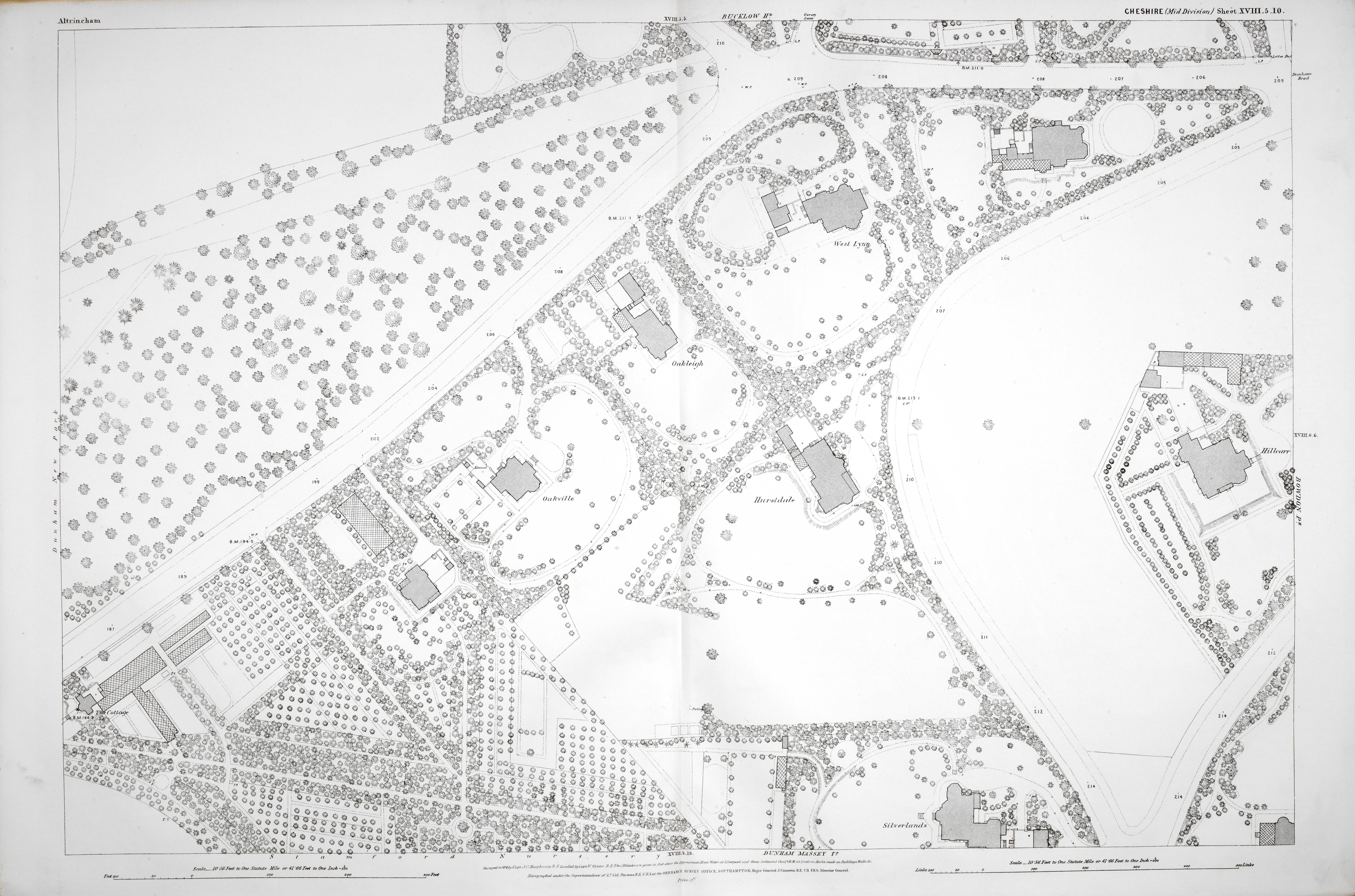
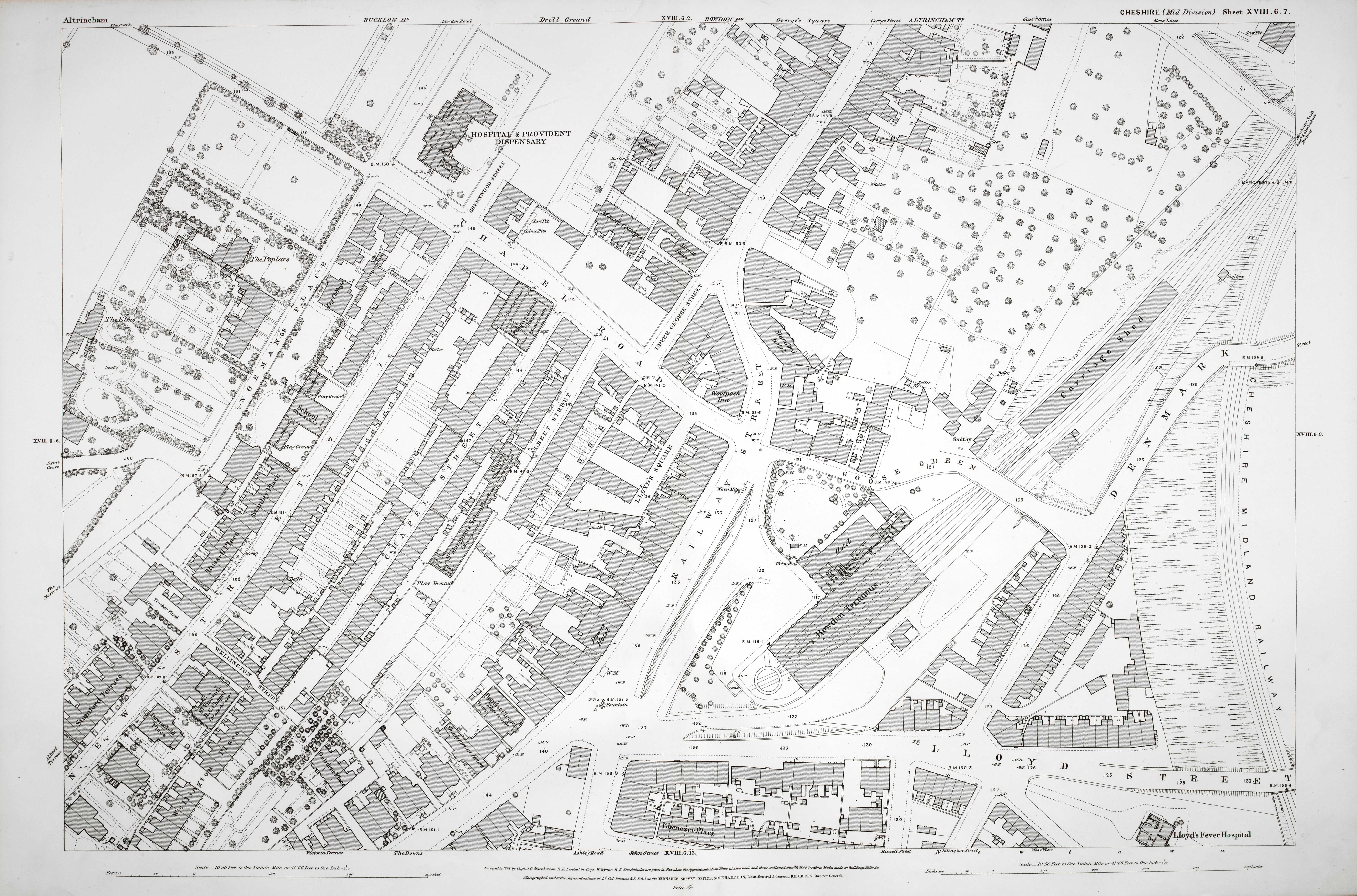
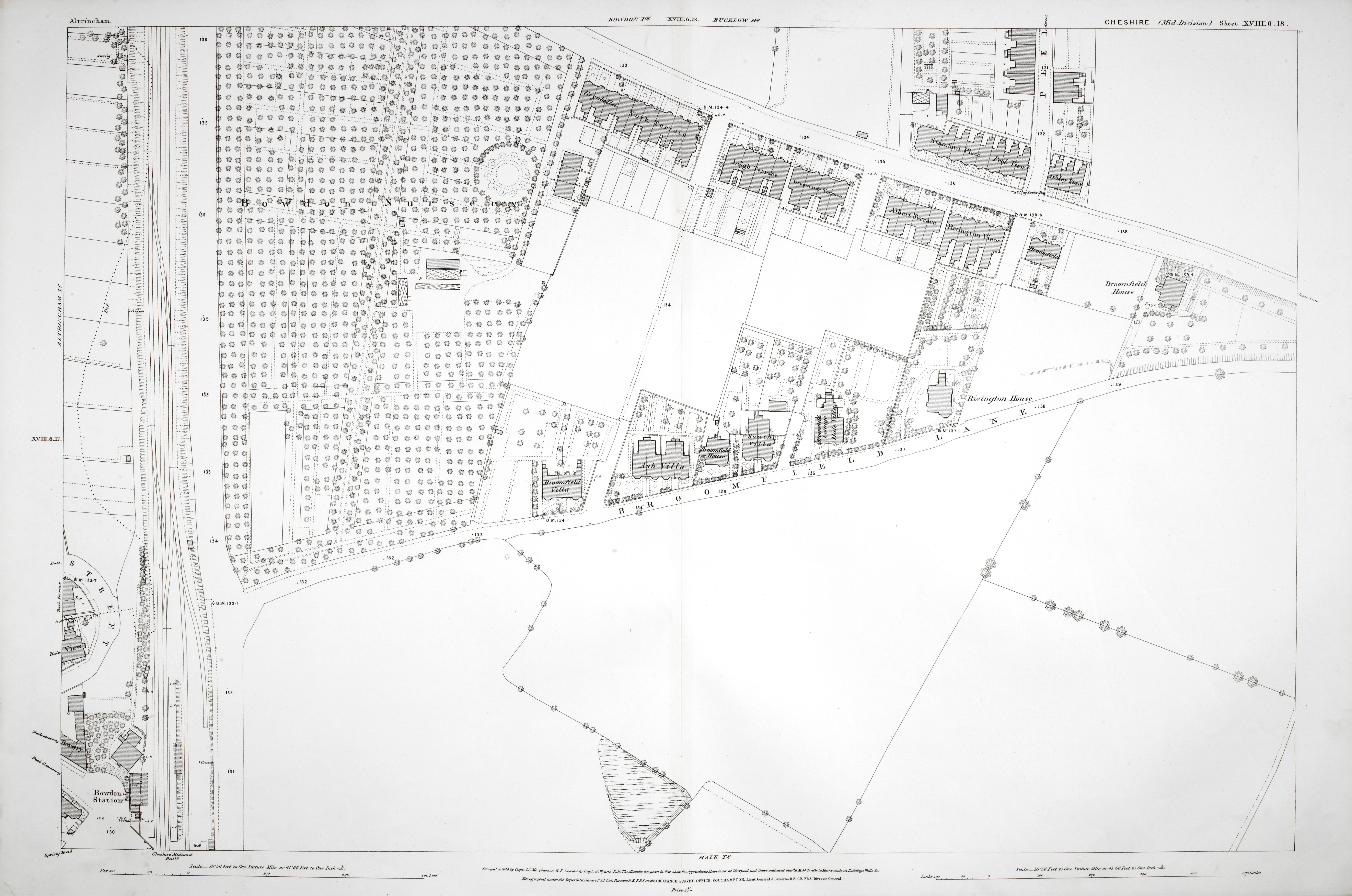
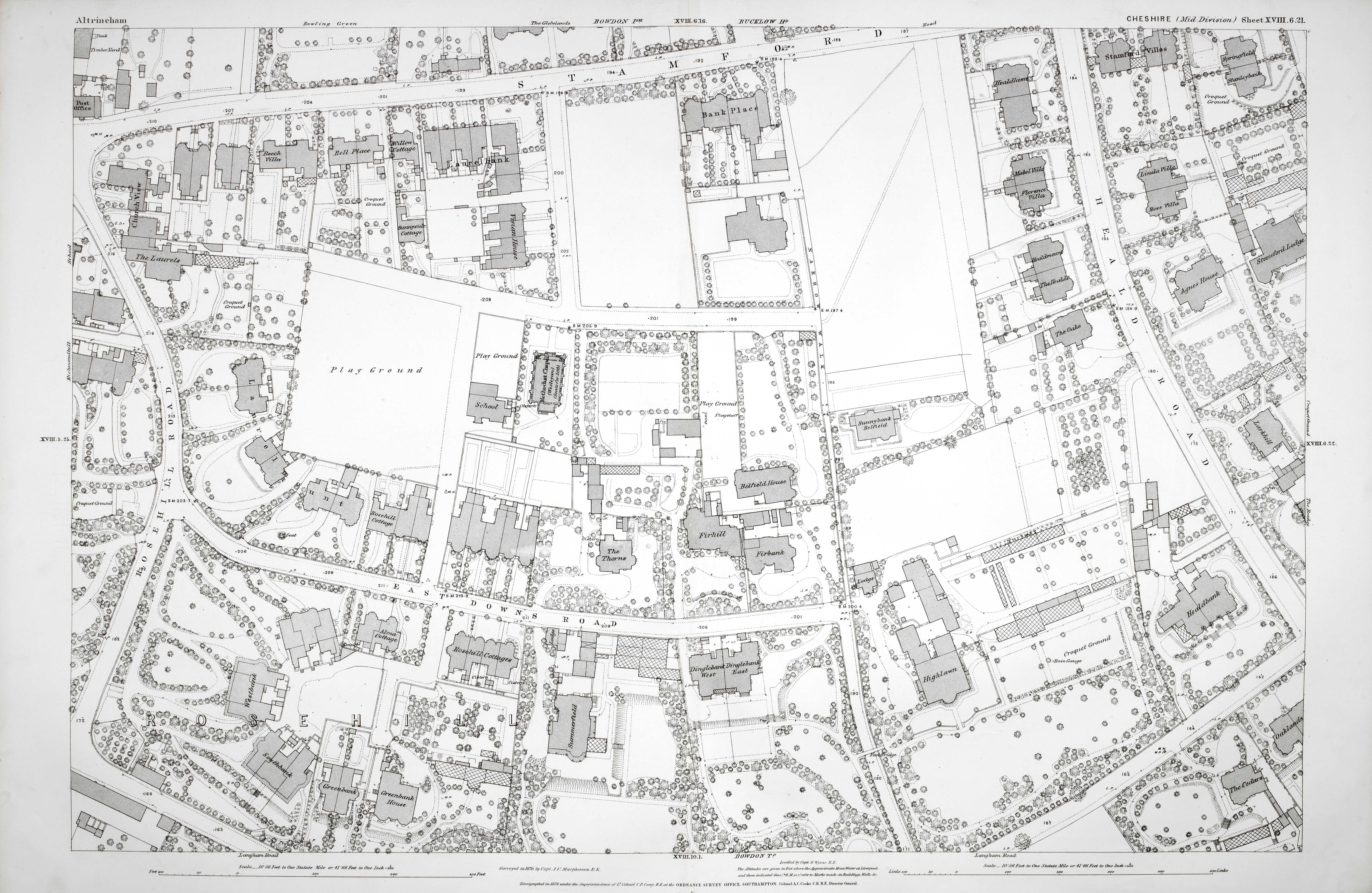
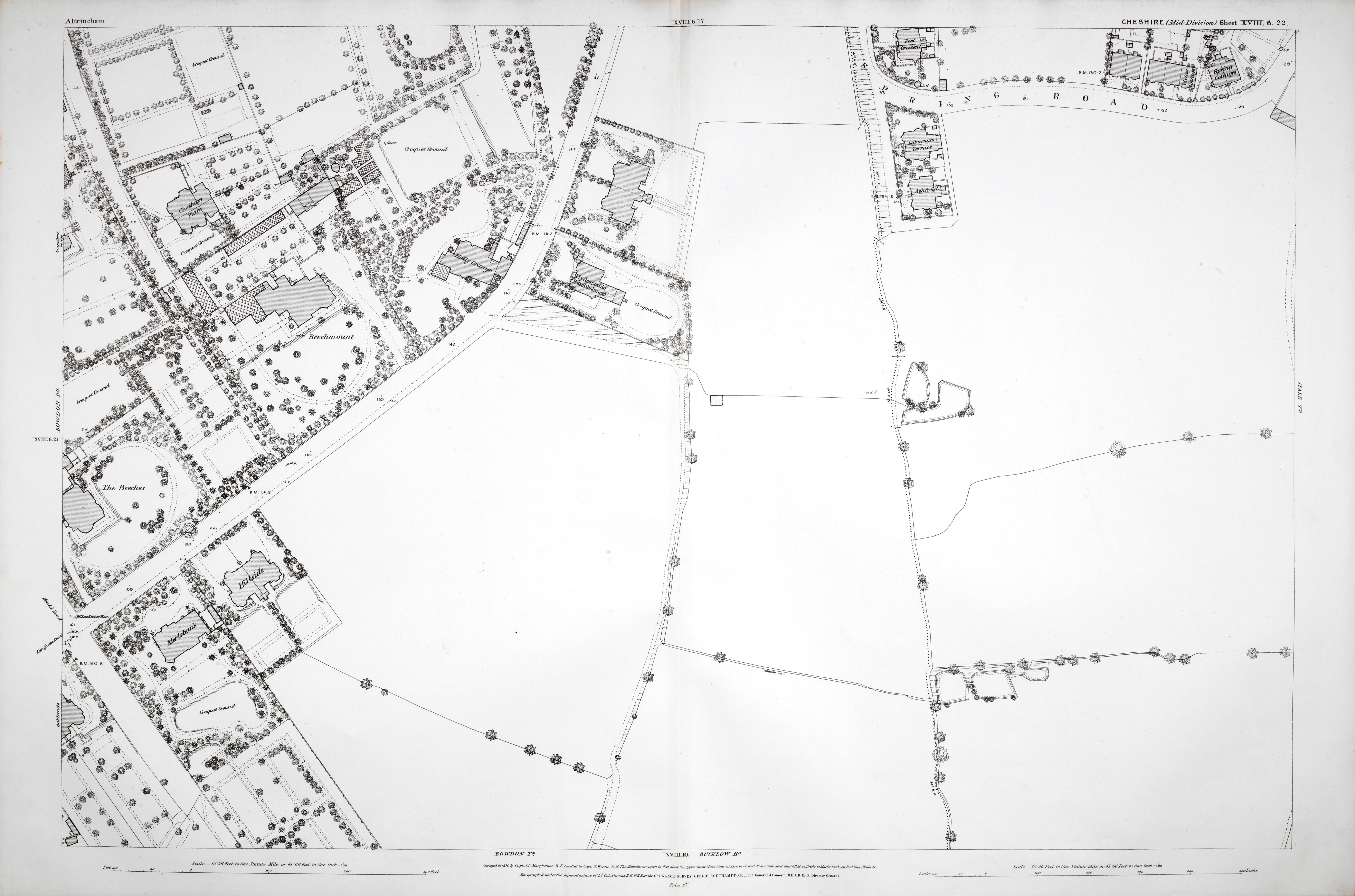
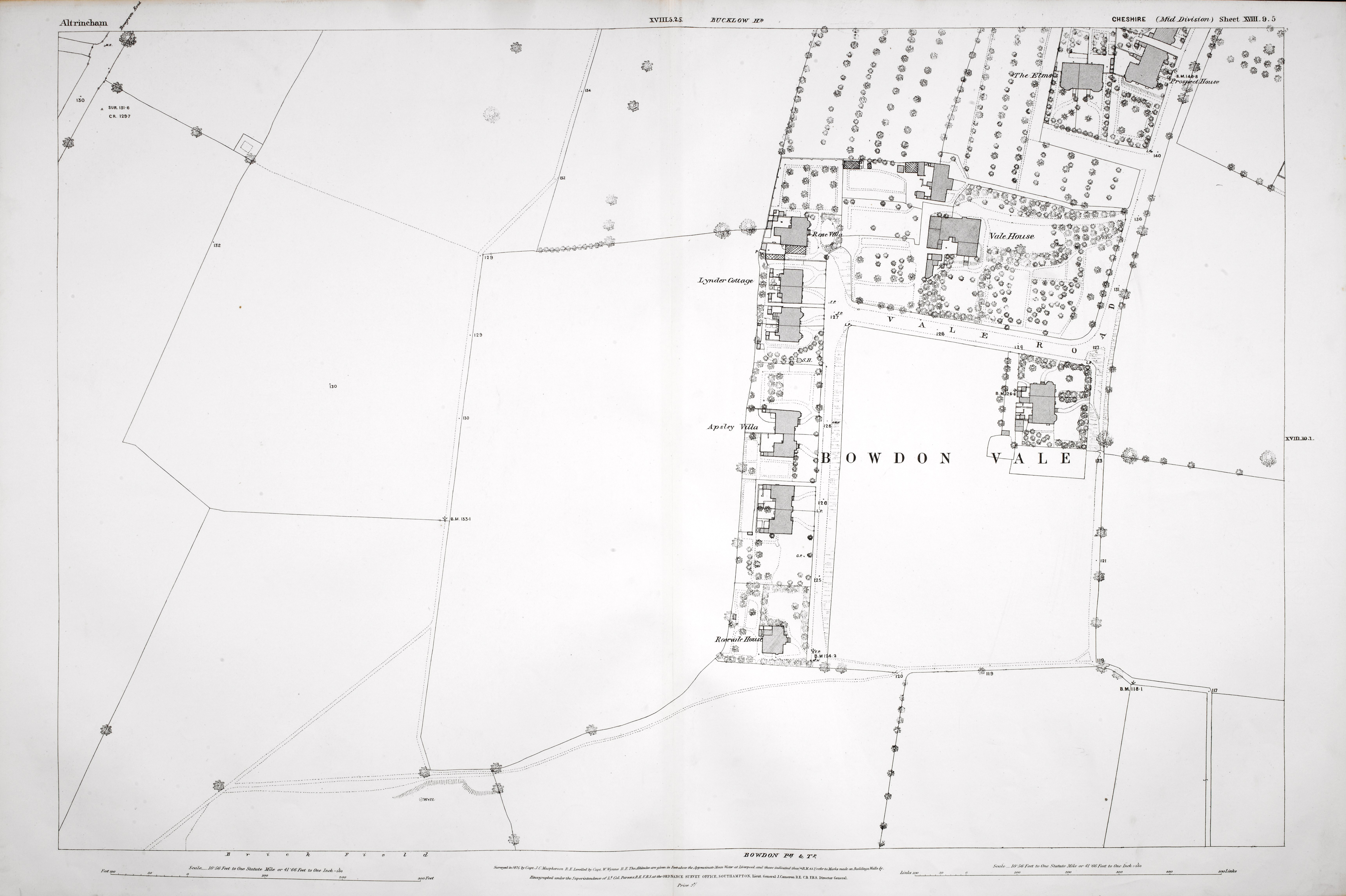
Each set of images from the sheets of the 1852 Local Board of Health Plans and Ordnance Survey 1876 Plans, have been stitched together digitally, so that the entire area covered can be viewed and explored as a whole.
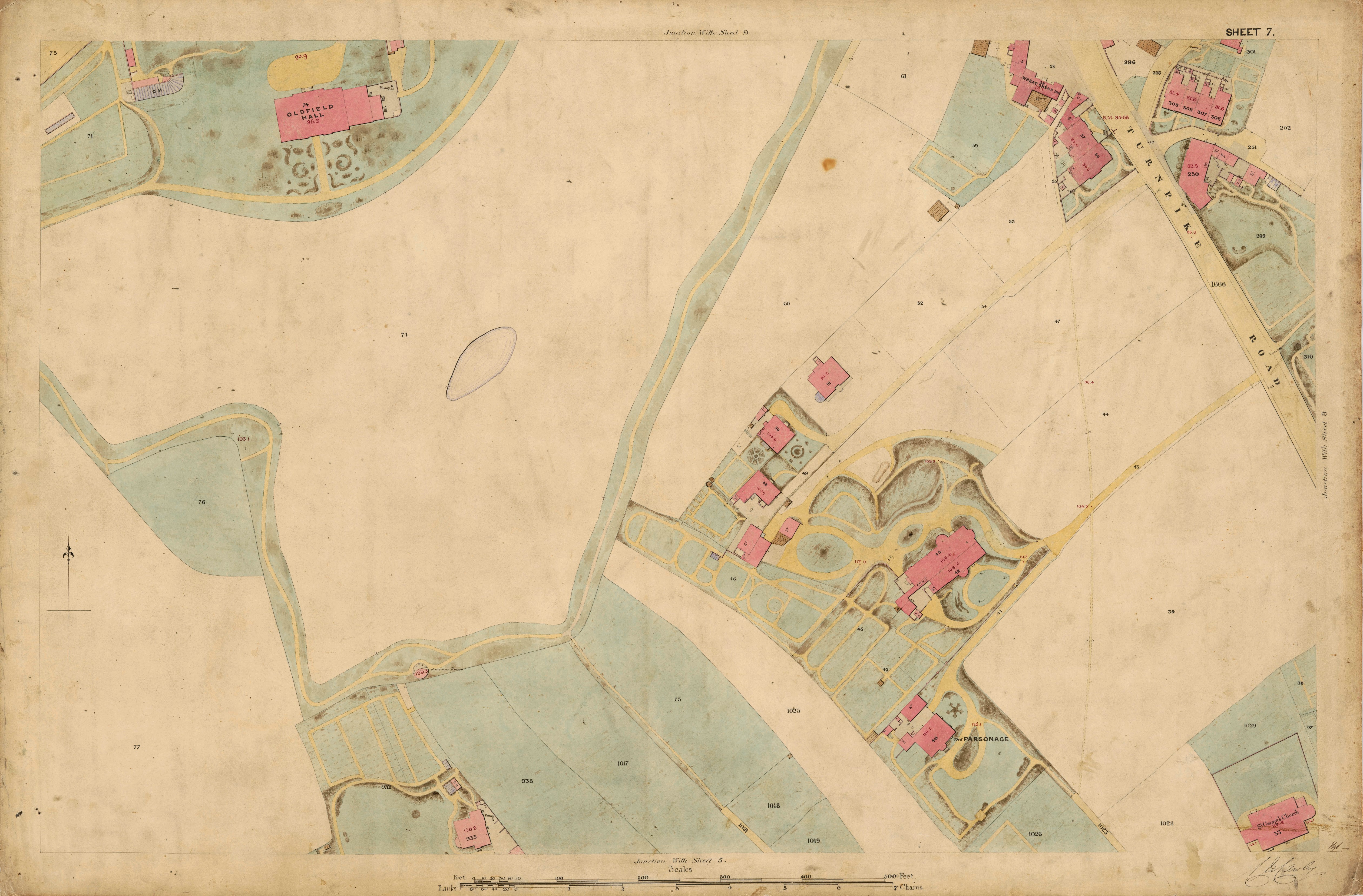
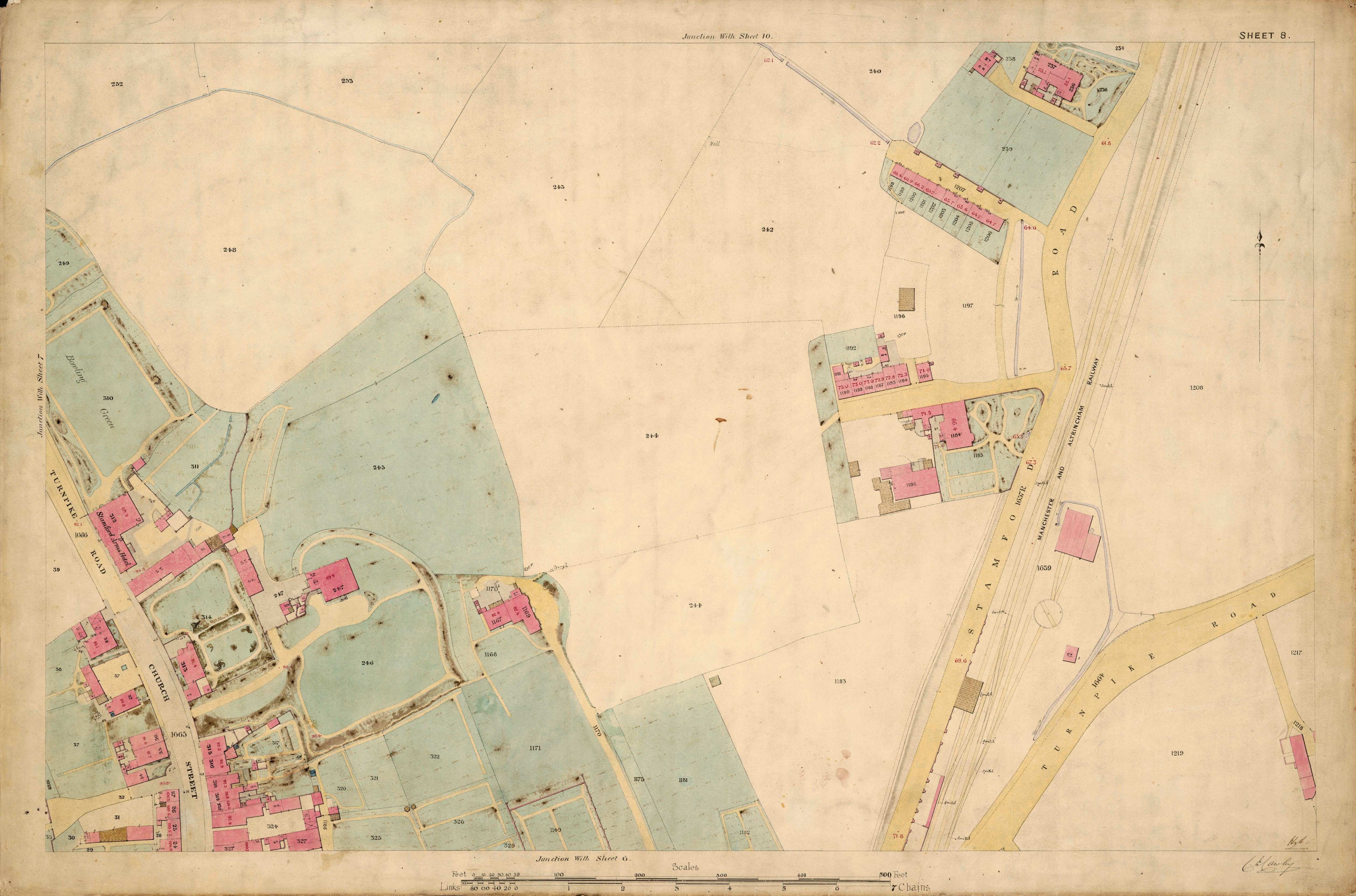
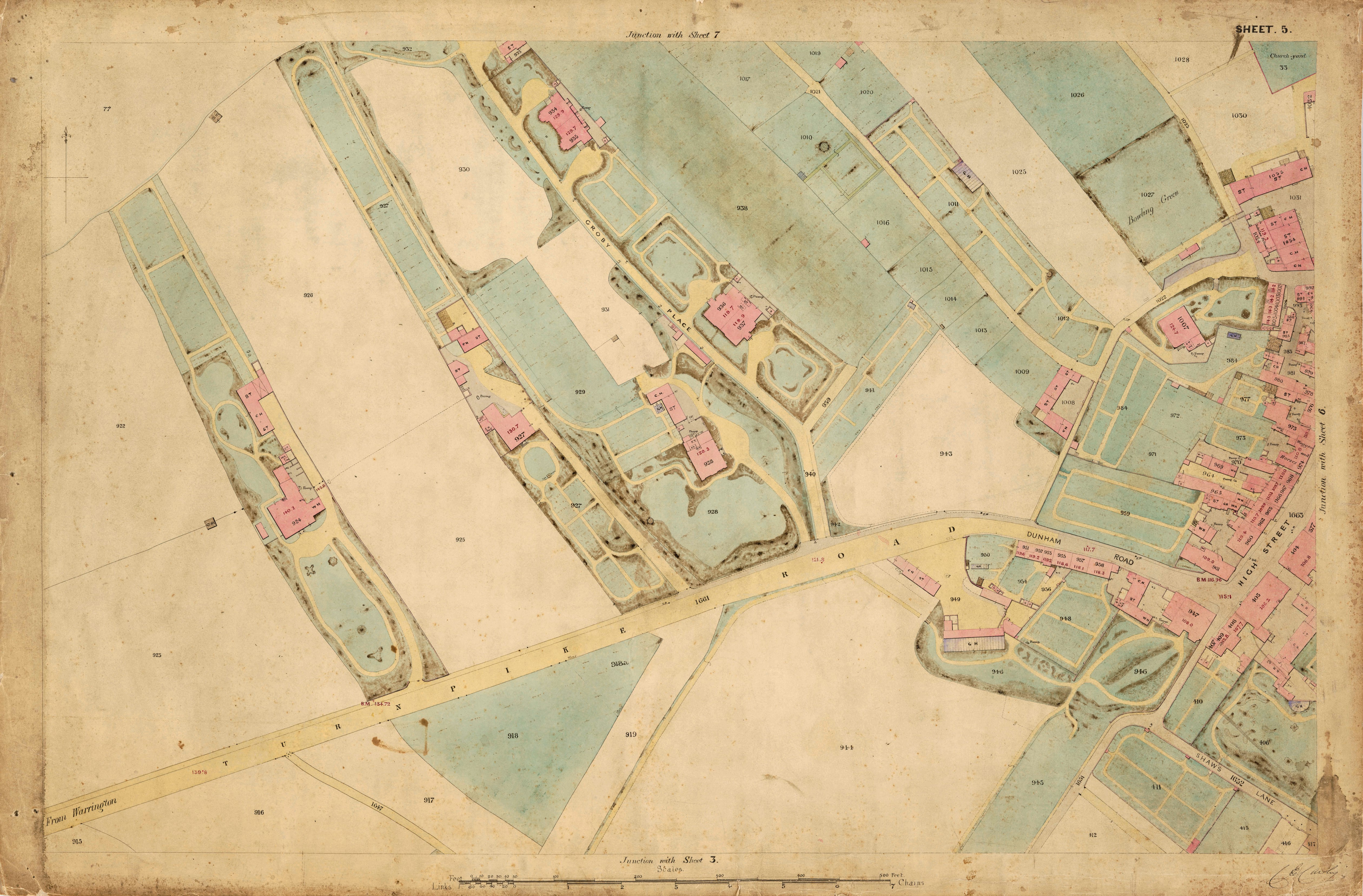
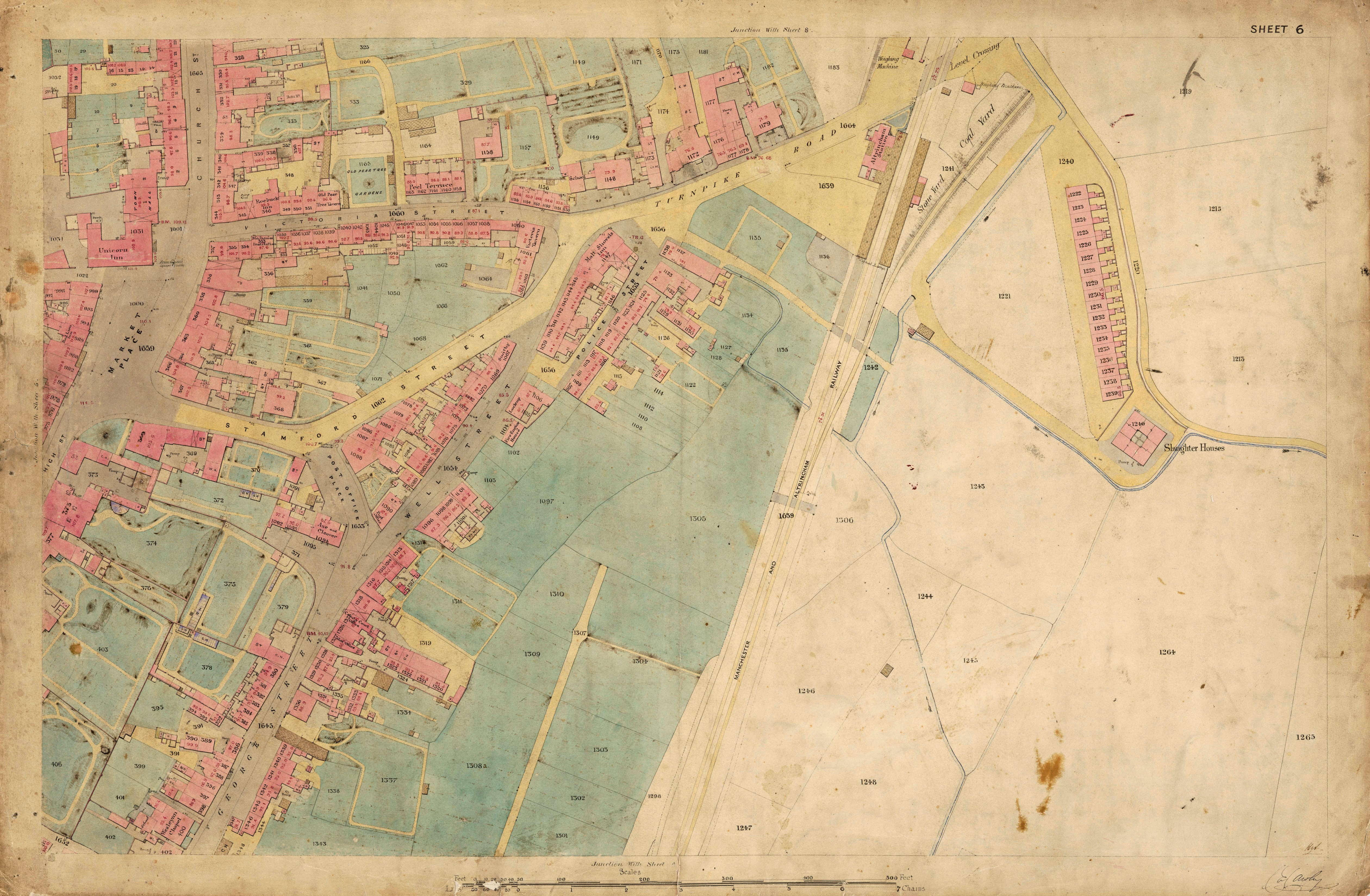
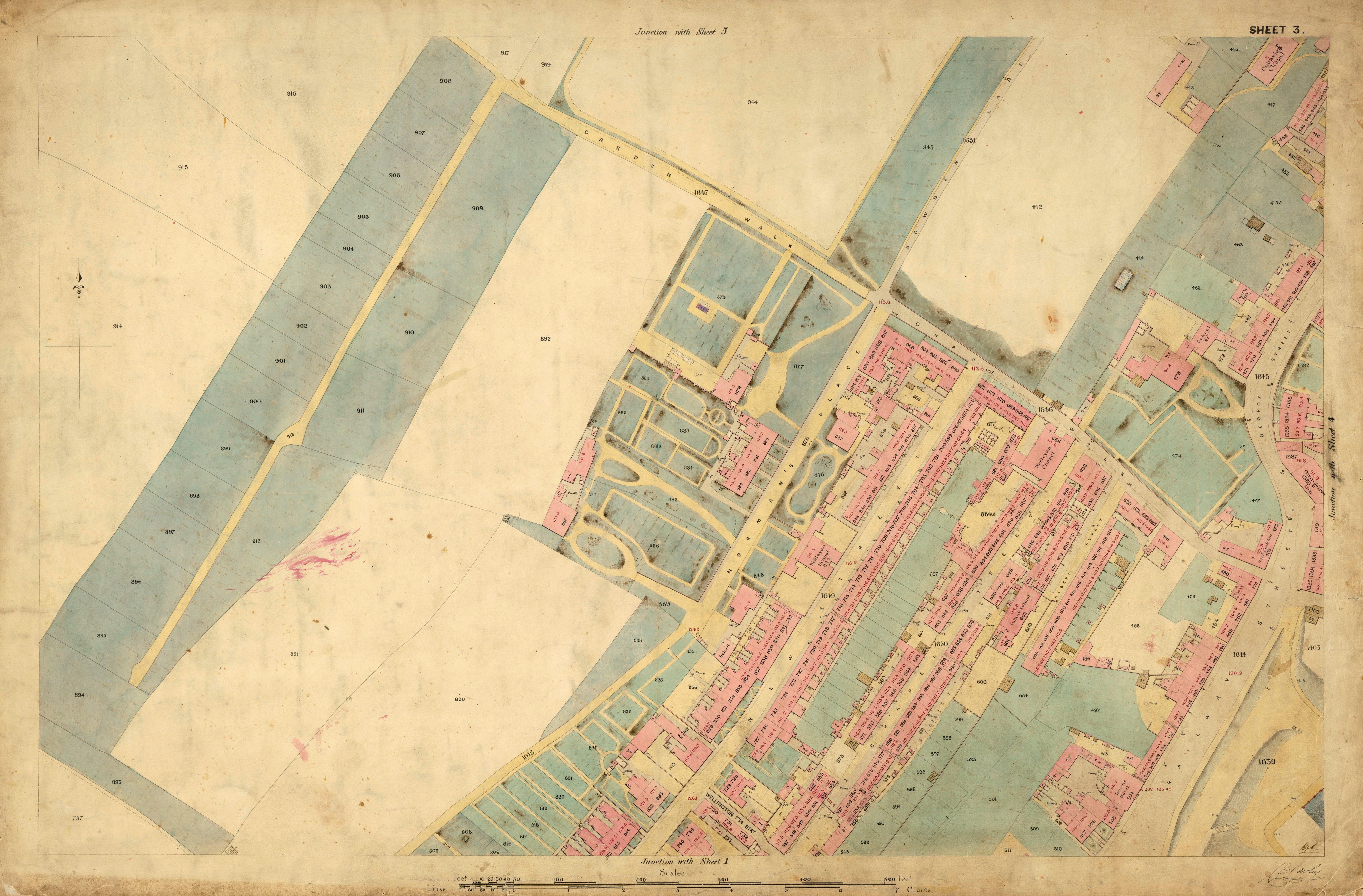
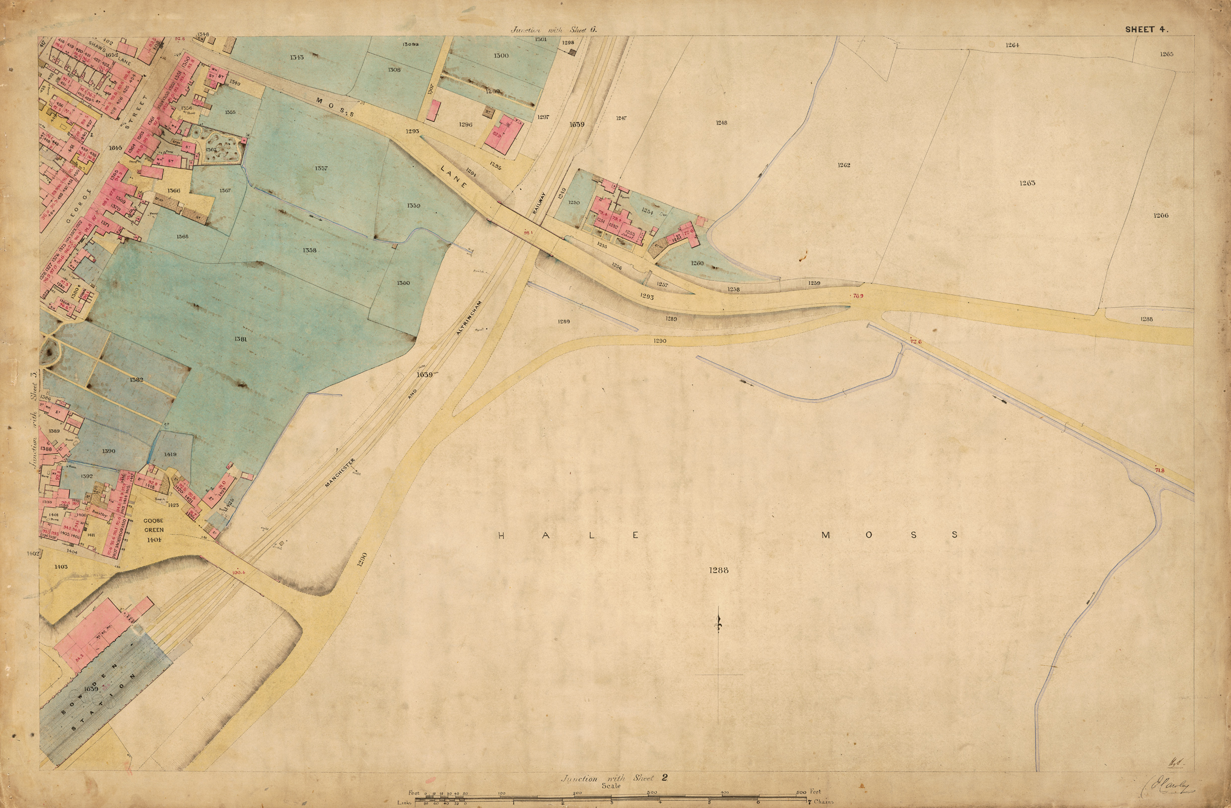
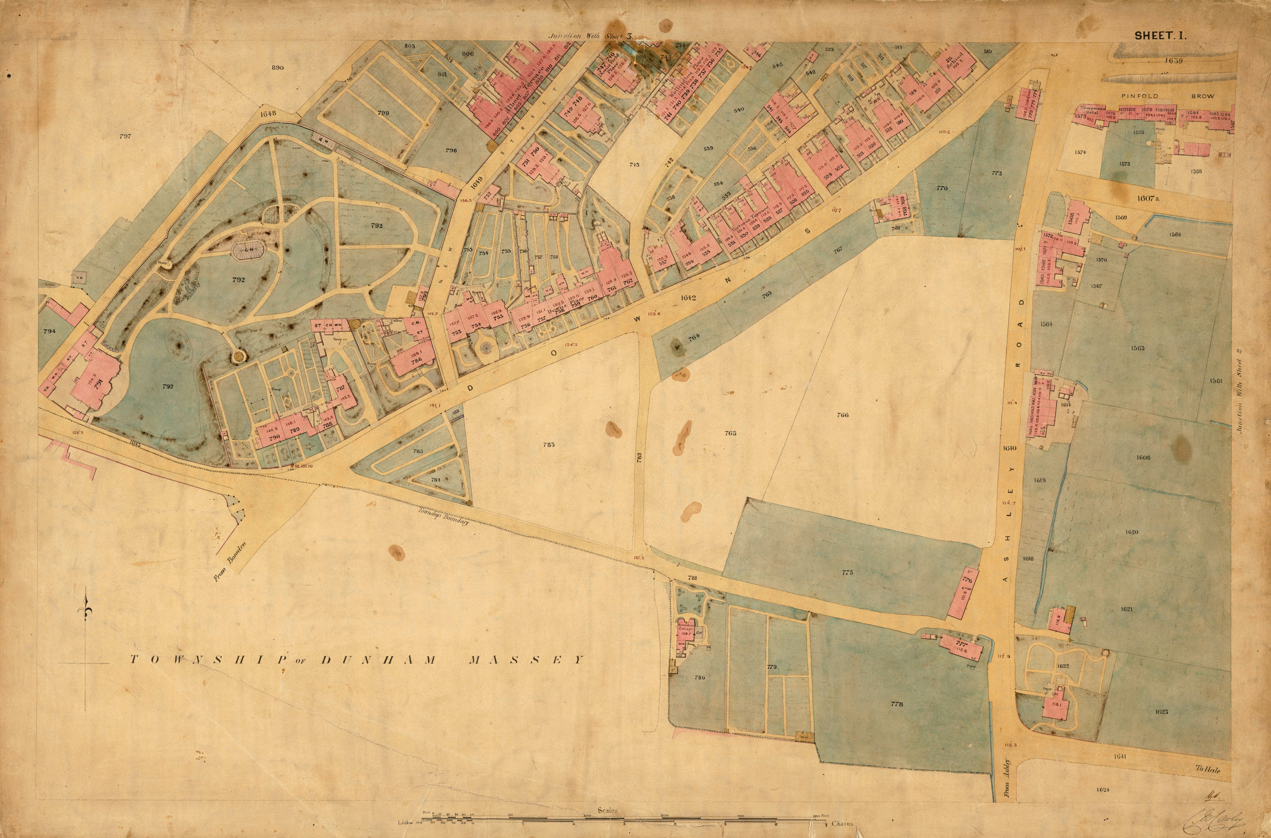
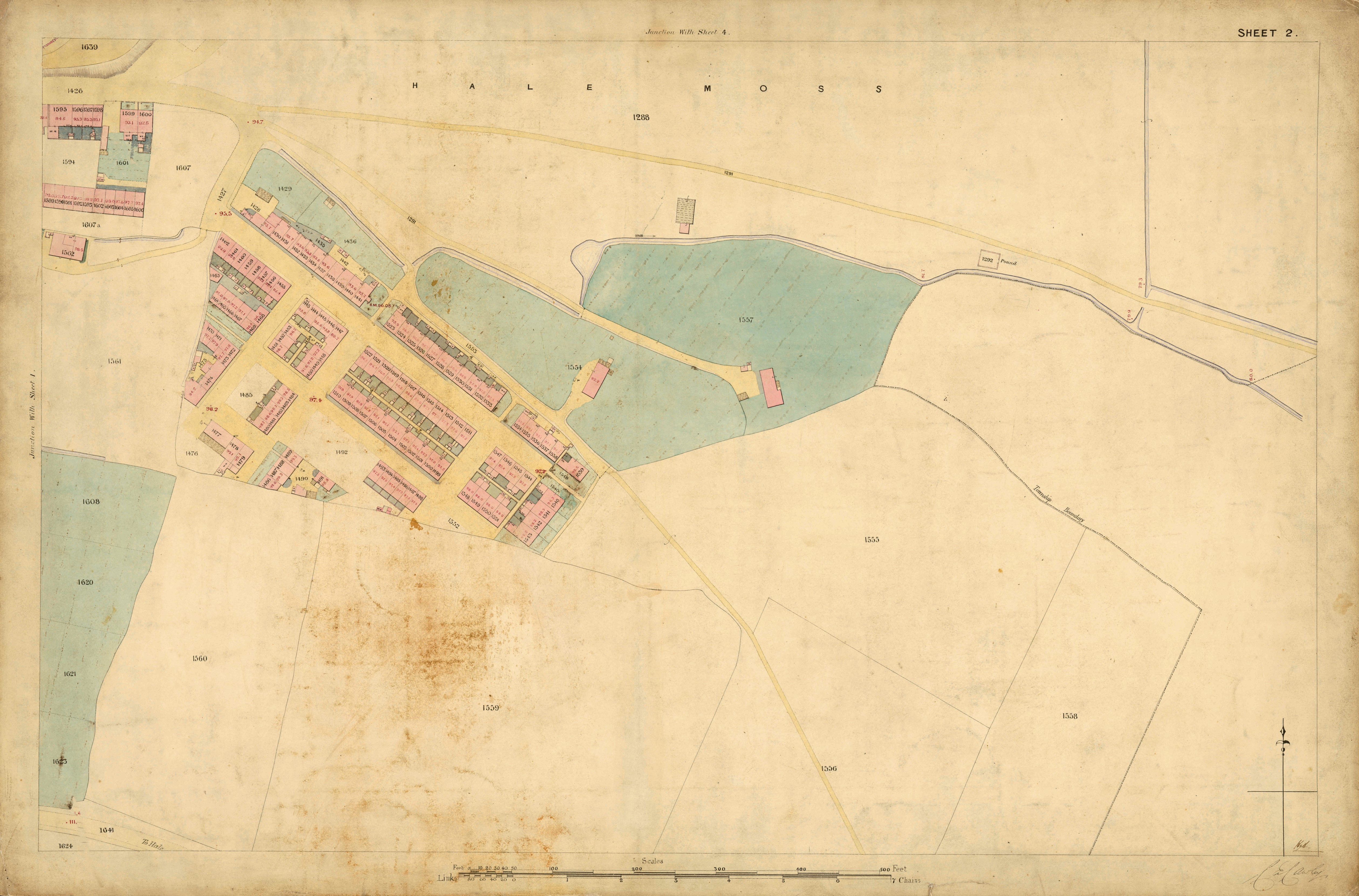
The 1852 watercolour and ink Plans only cover the Township of Altrincham, which includes the centre and some of the surrounding area, mainly to the north.
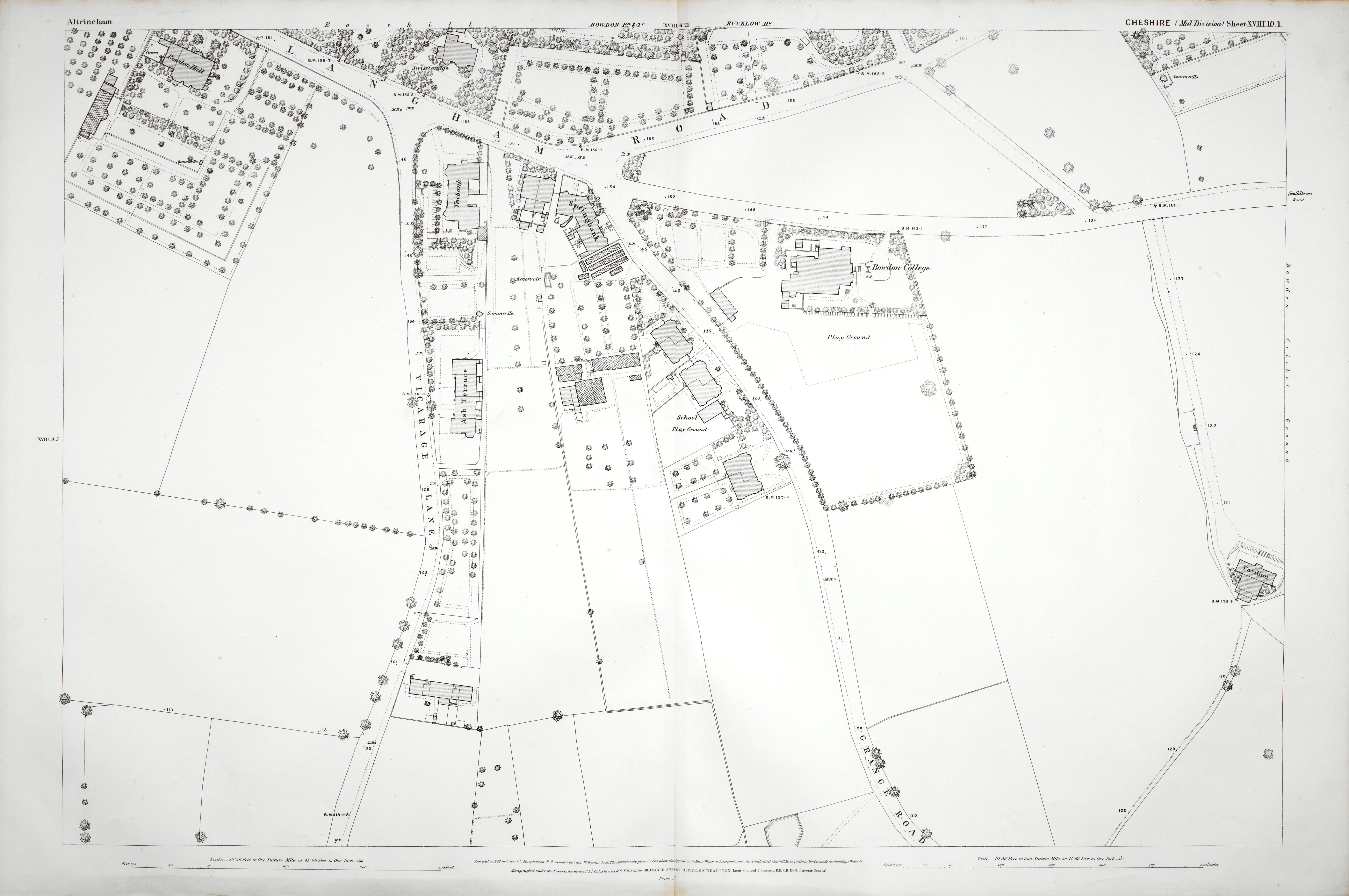
The OS 1876 black and white printed Plans cover a similar area, but also extend to upper Bowdon and Bowdon Vale, to the south of Altrincham town centre. A little of Hale to the southeast and some of Dunham Massey to the west, are also shown.
There is a Key to the symbols on the page where you can Compare 1852 and 1876 Plans.
Enlarge each Plan sheet and save it for personal use, if you wish to explore it in more detail.
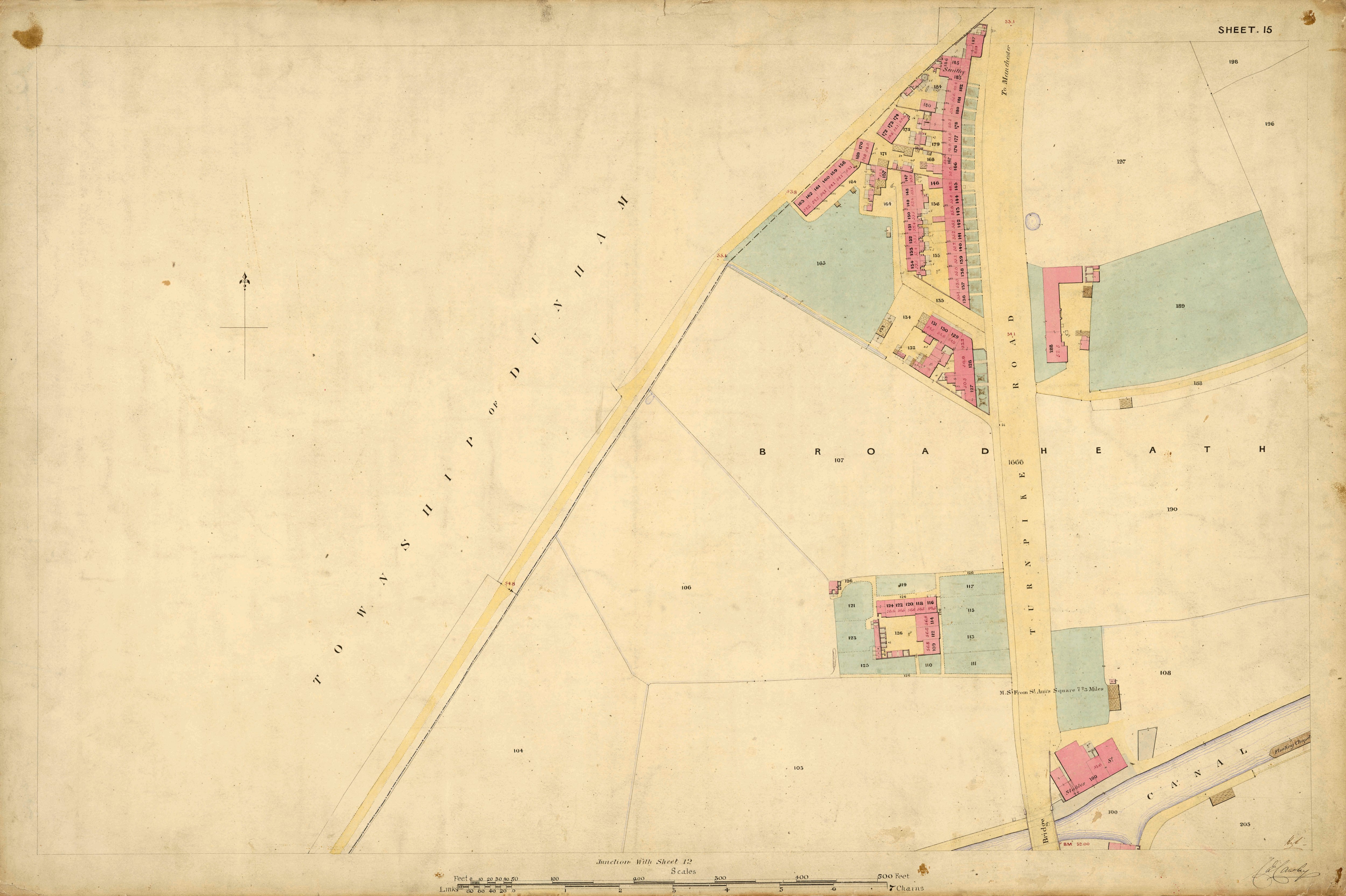
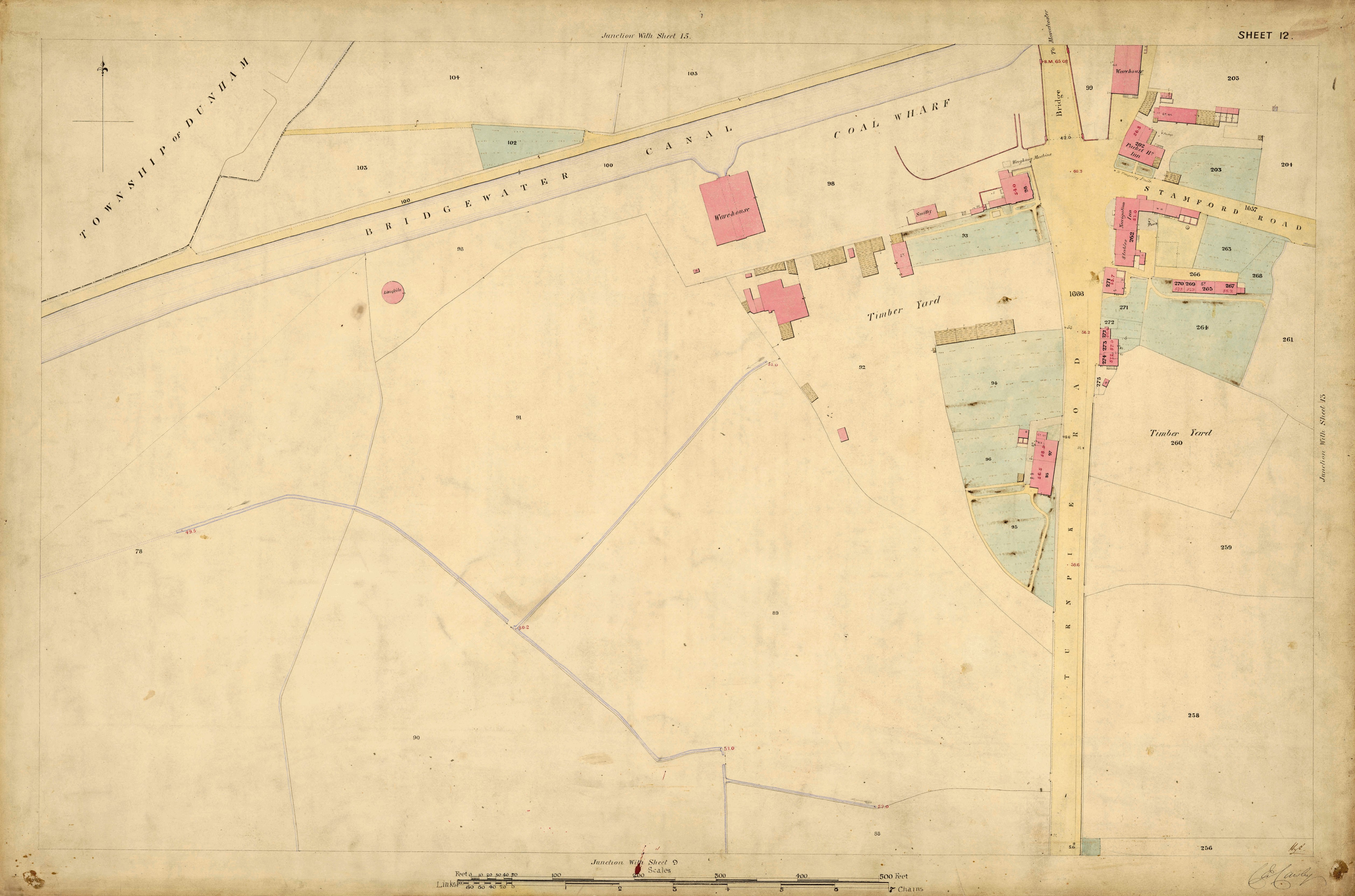
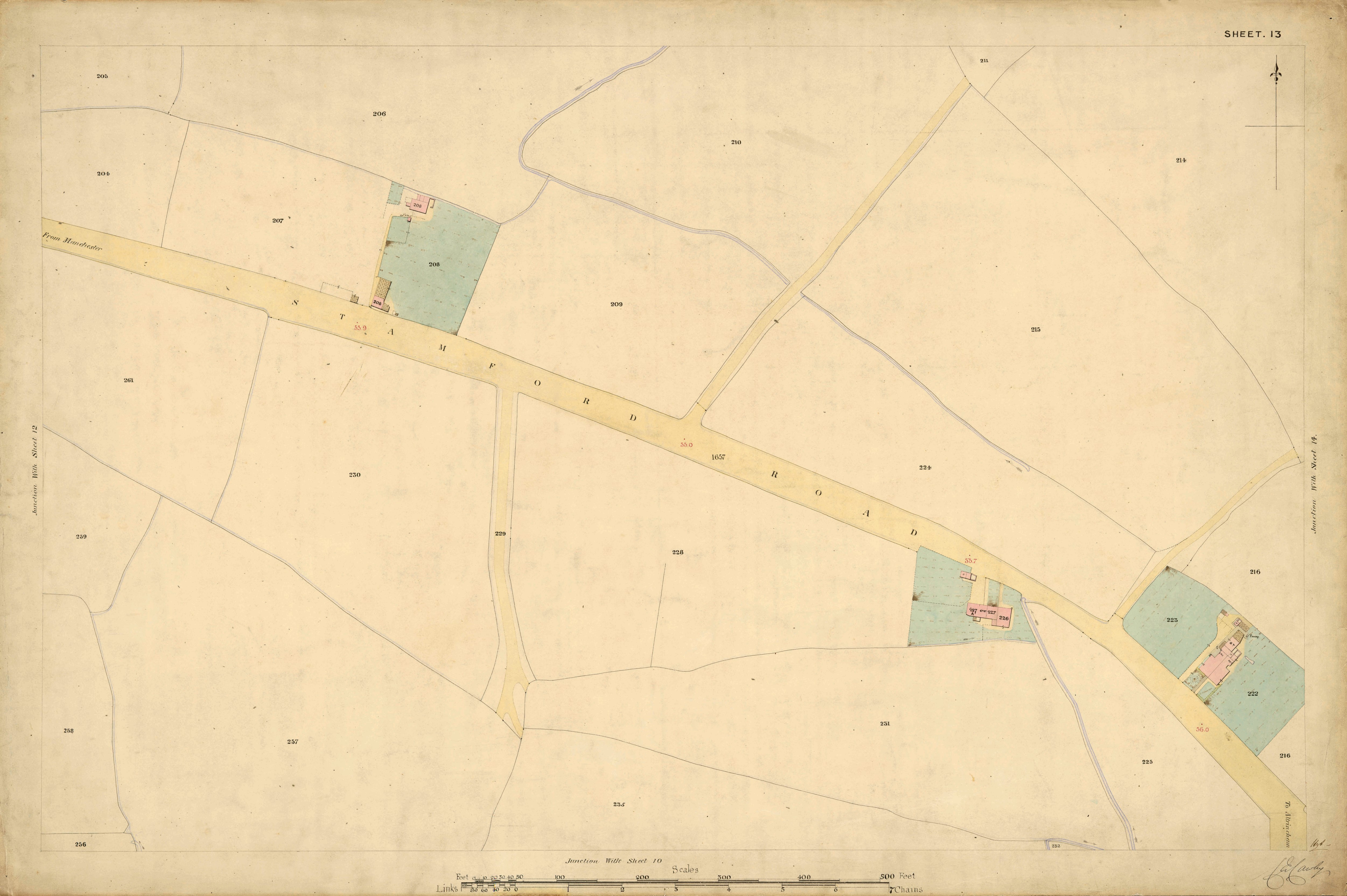
‘Detail Plans of the Township of Altrincham’, 1852
‘Detail Plans of the Township of Altrincham Surveyed for the Purposes of the Local Board of Health 1852’ by Charles E. Cawley M.I.C.E., Manchester. 1852. Scale 1:528 or 10 Feet to a Mile. Watercolour and ink on paper, 15 sheets.
The original Plans were digitised by courtesy of Trafford Local Studies Centre in Sale, Cheshire where they are held (ALT/9/1/1/1).
You can also download a PDF of the stitched set of the 1852 Plans (16 MB) or use the PDF of the Index (7 MB)to find the grid reference and location of a particular sheet.
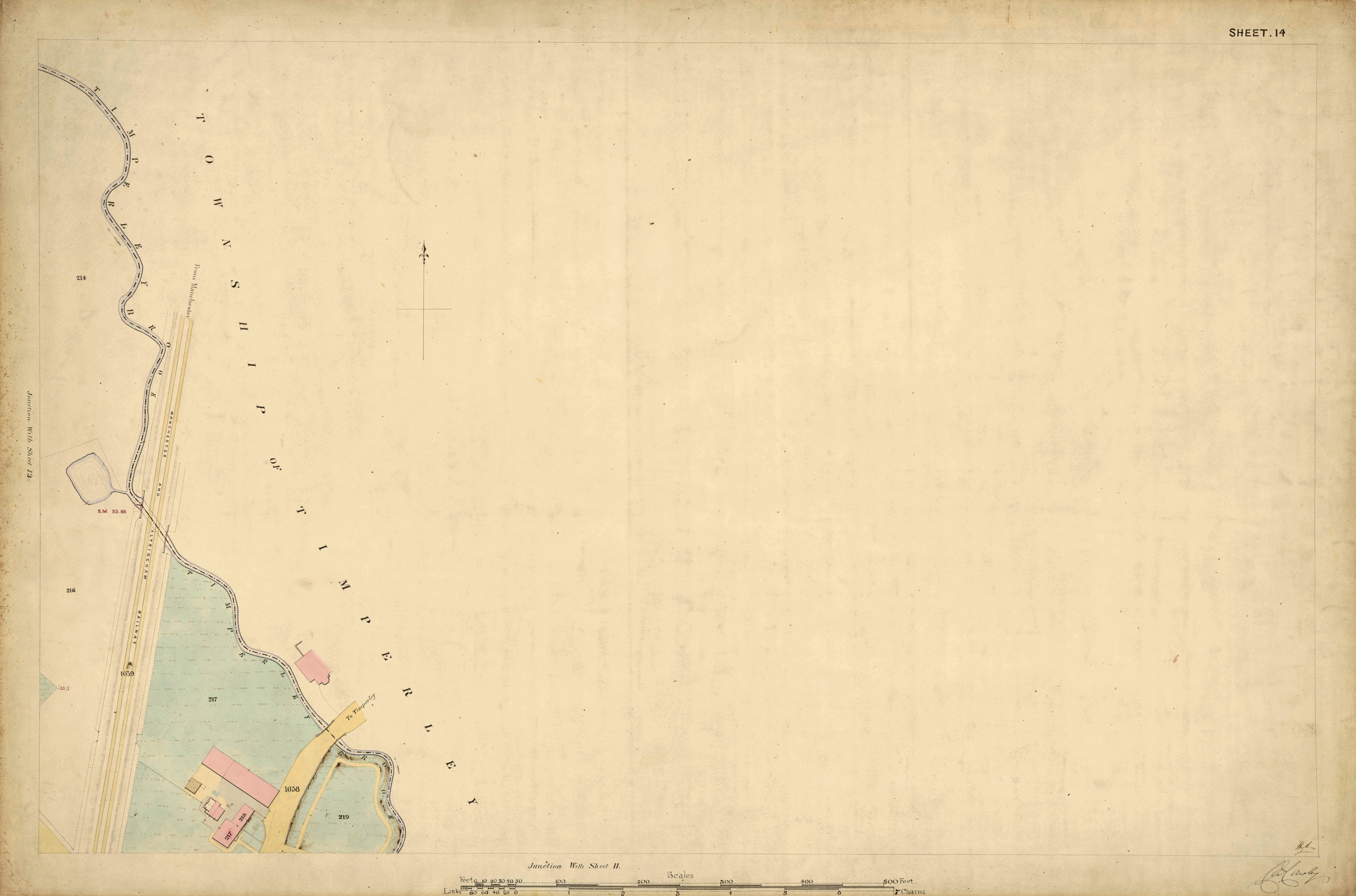
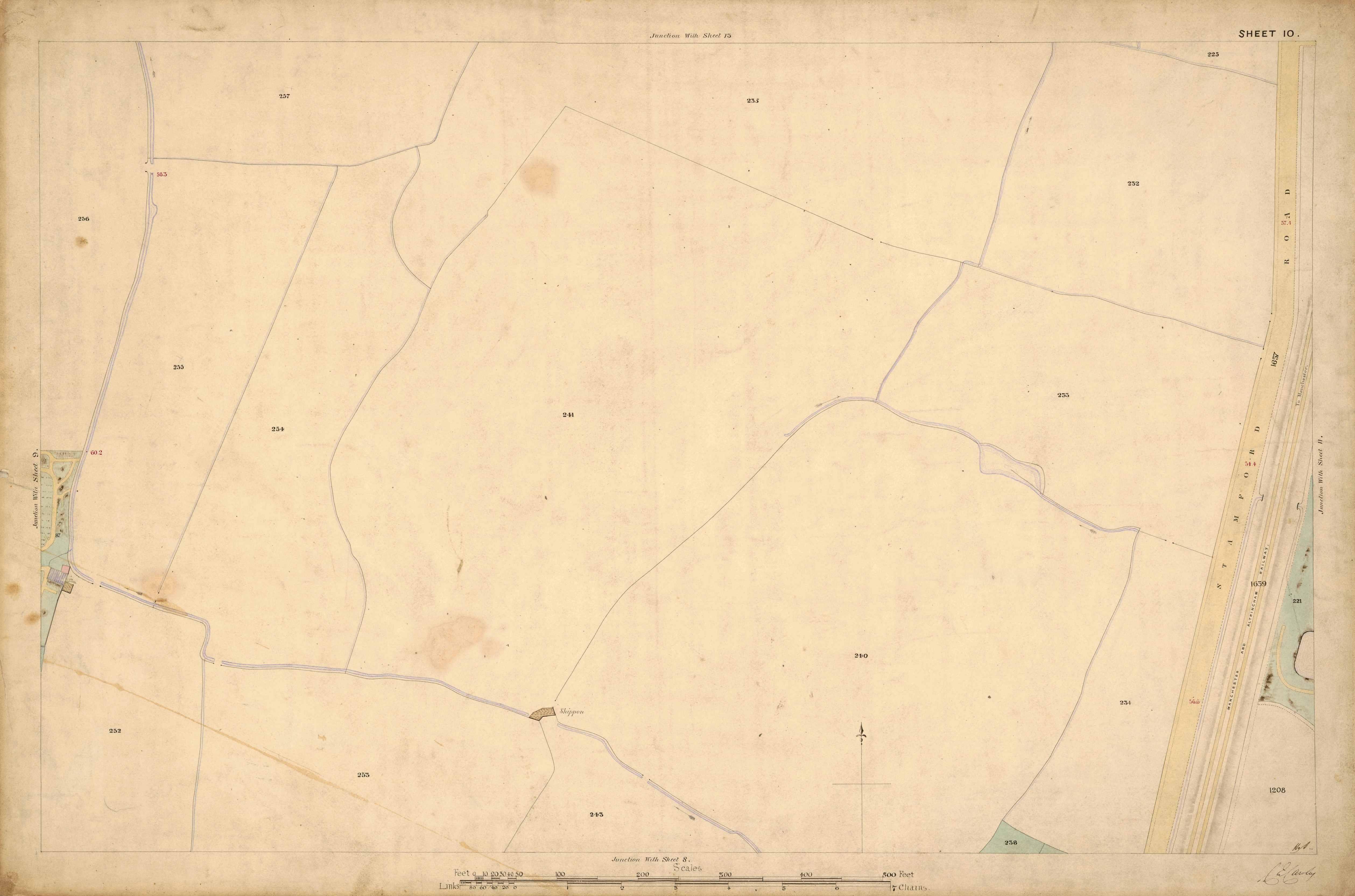
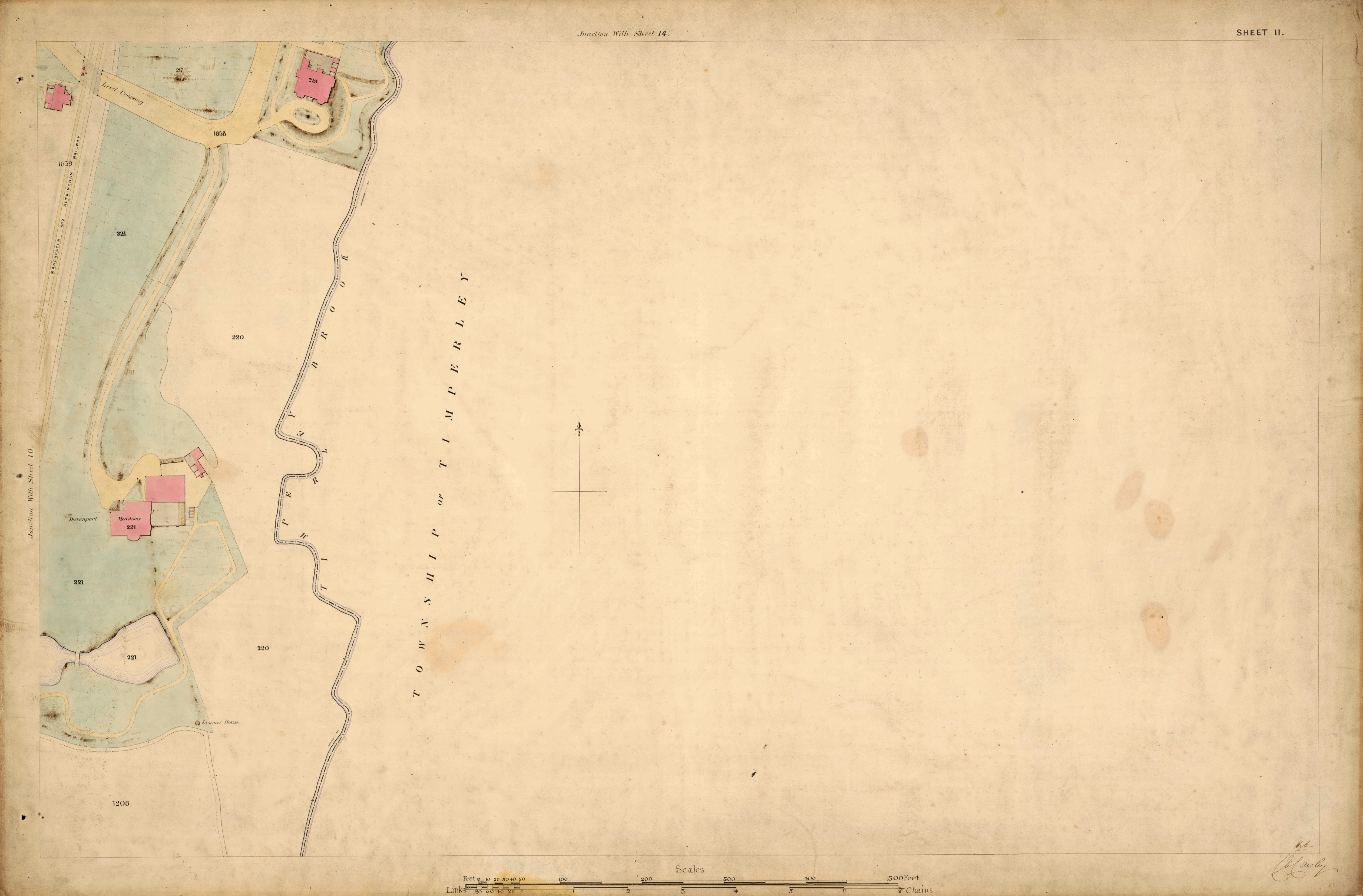
OS Plans of Altrincham,1876
Ordnance Survey of England, Cheshire: Plans of Altrincham, surveyed 1876 (published 1878), Southampton. Scale 1:500 or 10.56 Feet to a Mile. Zincograph on paper. 24 sheets.
© The British Library Board (Maps O.S.T. (9), Ordnance Plan of the Town of Altrincham).
You can also download a PDF of the stitched set of the OS 1876 Plans (29 MB) or use the PDF of the Index (5 MB) to find the grid reference and location of a particular sheet.